Learn about NRCAs
The Natural Resource Condition Assessment (NRCA) Program provides framework, funding, and publishing support to parks to aid in the synthesis and documentation of natural resource conditions. Condition assessment reports are a tool to describe selected park resources, and record a snapshot of their current condition, identify trends, and identify potential or current threats and stressors. Understanding the condition and trend of natural resources is key for parks and NPS planners to appropriately prioritize and allocate stewardship resources.

NPS Photo
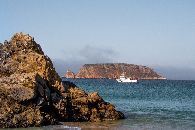
Because of the islands’ isolation, opportunities exist for ecological recovery and removal of non-native species. Their isolation also allows for natural darkness on the islands, important for nocturnal seabirds and other animals, and a natural soundscape and clean air that contribute to wildlife habitat.
Traditional NRCA Report: 2019
For this Natural Resource Condition Assessment, Channel Islands National Park resource managers identified that the greatest Park need was to know whether or not vegetation (primarily woody vegetation) is recovering on the Channel Islands and how this may be influencing recovery of the native terrestrial vertebrates. The resource topics that were evaluated on each island included:
- Vegetation community structure |
||
- Terrestrial vertebrate abundance |
Published in 2019, the assessment showed that vegetation recovery is uneven across each island and largely limited to mesic areas, such as north-facing slopes. Areas that will likely require some assisted recovery efforts are those that are: at risk of erosion, isolated, lacking native seed banks, and plagued with high competition of non-native grasses and other invasive plants.
The overall condition of terrestrial island vertebrate species on the Park generally appears to be good and improving, with high potential for further recovery to reach pre-ranching era reference conditions. Overwhelmingly, the most critical data gap that emerged from our analysis was the lack of current vegetation maps for most of the islands. The lack of this information made it difficult to assess spatial changes in island vegetation over time, and to relate those changes to observed changes in vertebrate species abundances.
For other reports and natural resource datasets visit the NPS Data Store.
Source: NPS DataStore Collection 7765 (results presented are a subset). To search for additional information, visit the NPS DataStore.
Last updated: June 28, 2022
