
Mining and ranching changed how people used the land around Joshua Tree. The California Gold Rush and successful cattle ranching made the southwest deserts more appealing. Beginning in the 1870s, gold miners came to the rocky hills around Twentynine Palms, while ranchers used the highlands for spring grazing and built water catchments called “tanks” to capture water for the cattle.
The arrival of new groups deeply impacted Native American communities, cutting them off from their traditional food resources, water sources, and place-based culture. Pressured to leave traditional collecting and travel areas for nearby designated reservation lands, Serrano, Cahuilla, Chemehuevi, and Mojave communities lost access to traditional resources outside of these designated areas. Some tribal members adapted by working for early prospectors or were hired as farm hands and cowboys.
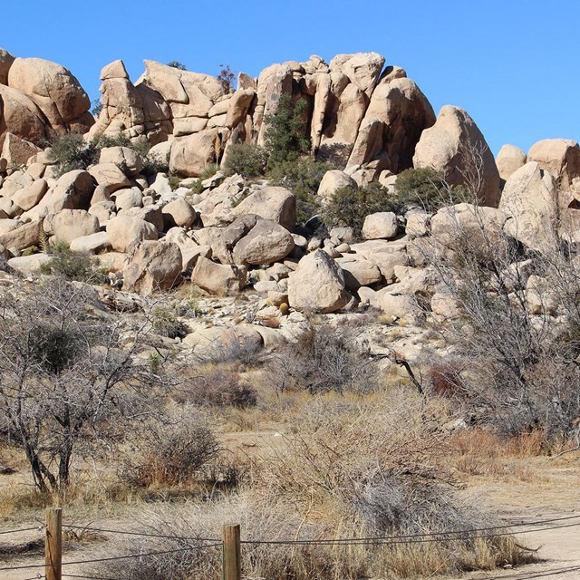
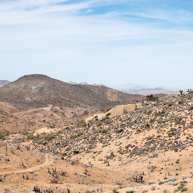
Today, nearly 300 historic mines are located in the park. Important ranching locations like Quail Springs, Hidden Valley, and Barker Dam are popular sites for visitors. Indigenous footpaths became wagon tracks and are now current roads.
Ranching
-
 Brand
BrandJoshua Tree National Park, JOTR 35978
-
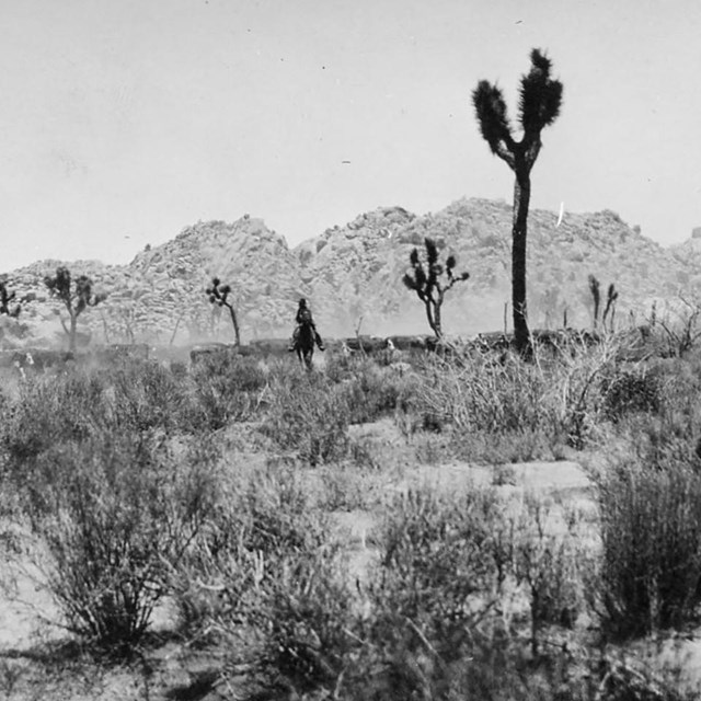 Shea driving cattle
Joshua Tree National Park, JOTR 531
-
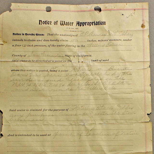 Notice of Water Appropriation
Joshua Tree National Park, JOTR 24757
-
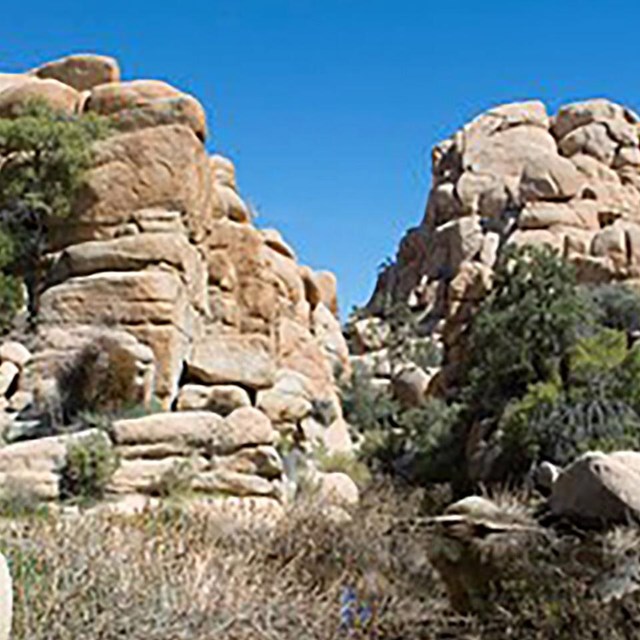 Willow Hole
National Park Service photograph
-
 Shotgun
Joshua Tree National Park, JOTR 2622
-
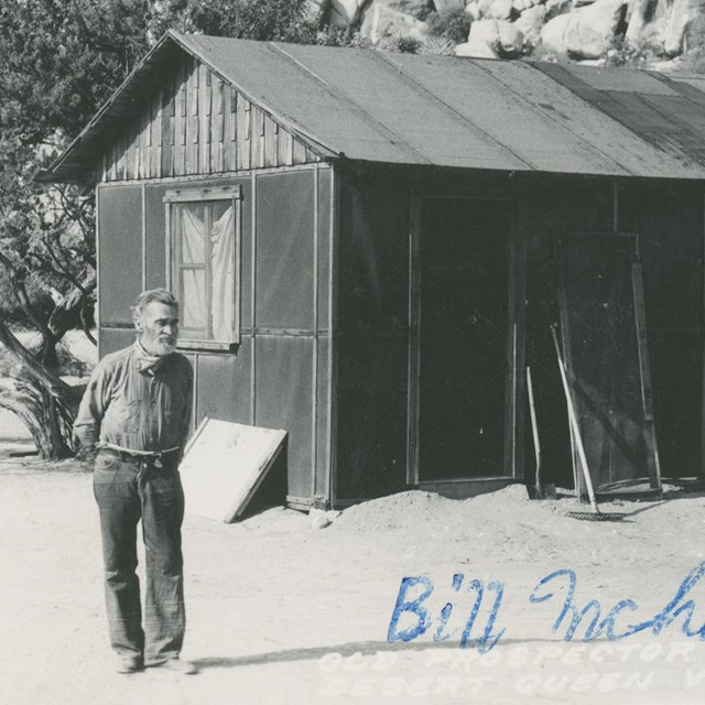 Bill McHaney in front of cabin
Joshua Tree National Park, JOTR 40127, Box 3
-
 Looking toward the site today
National Park Service photograph
-
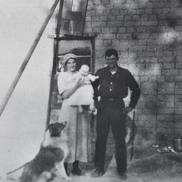 Joe Pachecco and family
Joshua Tree National Park, JOTR 20575, image #1648
Mining
-
 Desert Queen Mine
Joshua Tree National Park, JOTR 20575 #2407
-
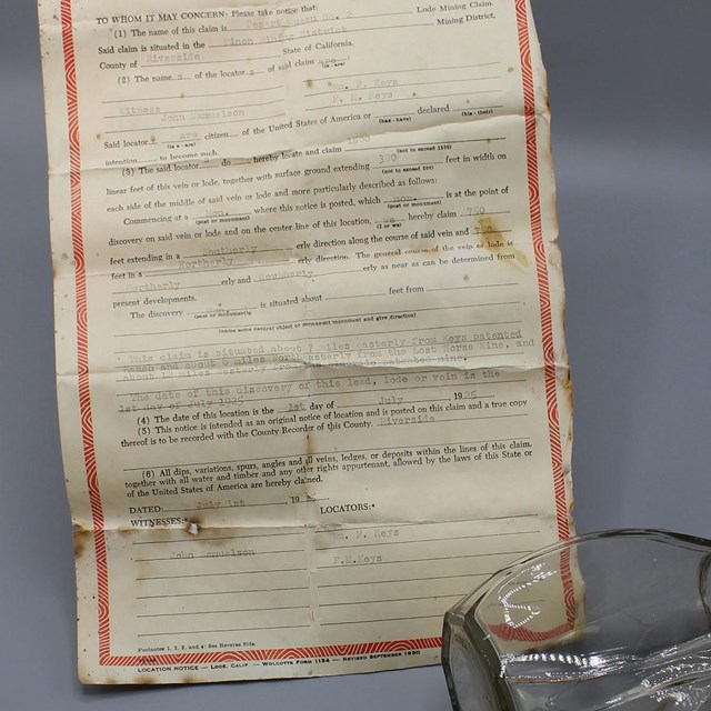 Location Notice (Mining Claim) and Jar
Joshua Tree National Park, JOTR 29981
-
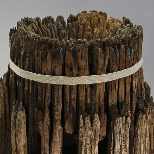 Central Wheel Hub, Pinto Wye Arrastra
Joshua Tree National Park, JOTR 35966
-
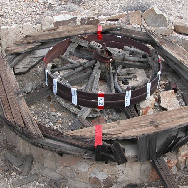 Documenting arrastra before preservation
National Park Service photograph
-
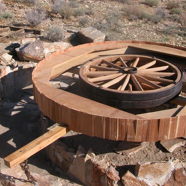 Pinto Wye Arrastra after preservation
National Park Service photograph
-
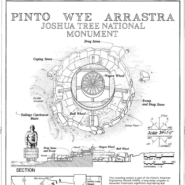 Pinto Wye Arrastra HAER drawing
Historic American Engineering Record, HAER CAL,36-TNPAL.V,4- (sheet 1 of 2)
-
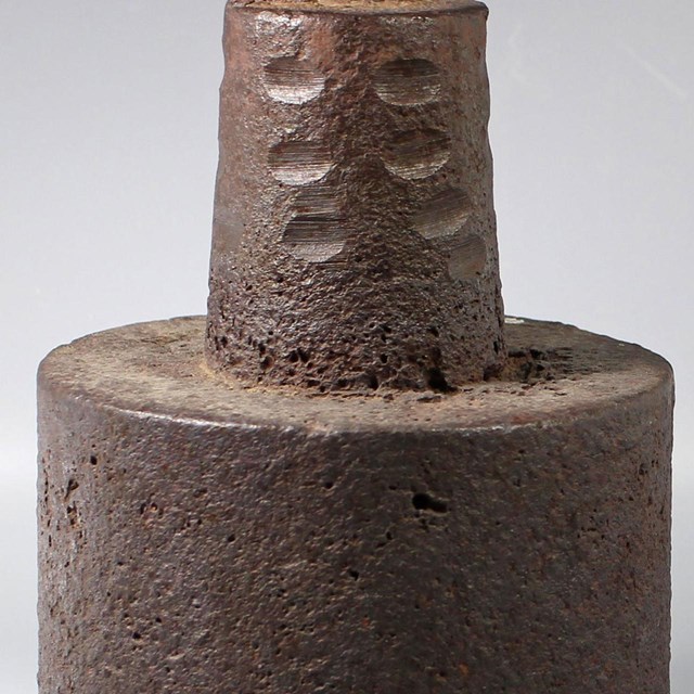 Shoe Stamp
Desert Queen Ranch Collection
-
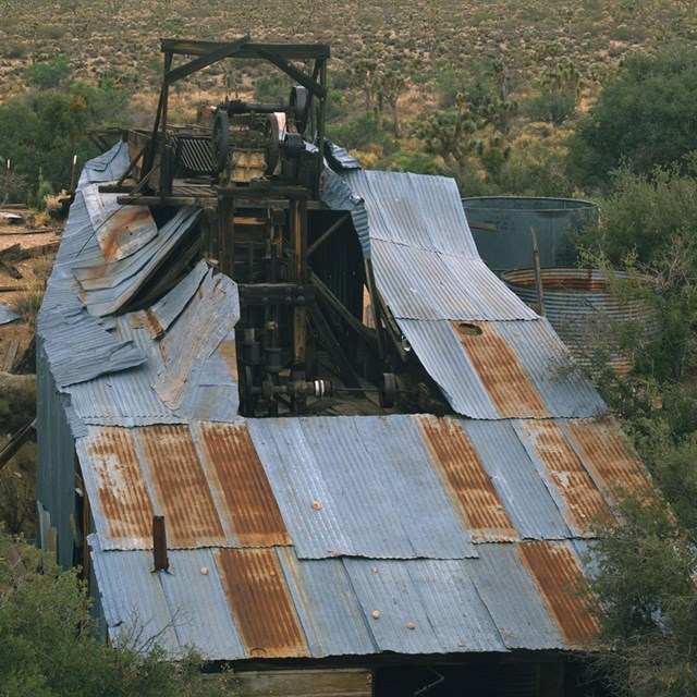
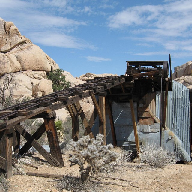 Wall Street Mill
National Park Service photograph
-
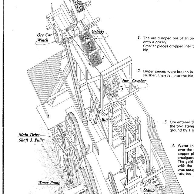 Wall Street Gold Mill Process Drawing
Historic American Engineering Record, HAER CAL,36-TNPAL.V,2- (sheet 8 of 9)
-
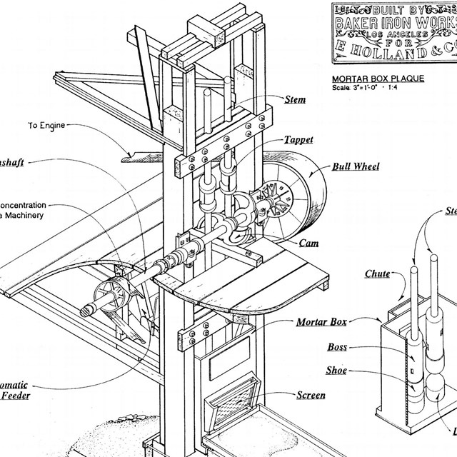 Stamp Battery Axonometric Drawing
Historic American Engineering Record, HAER CAL,36-TNPAL.V,2- (sheet 9 of 9)
-
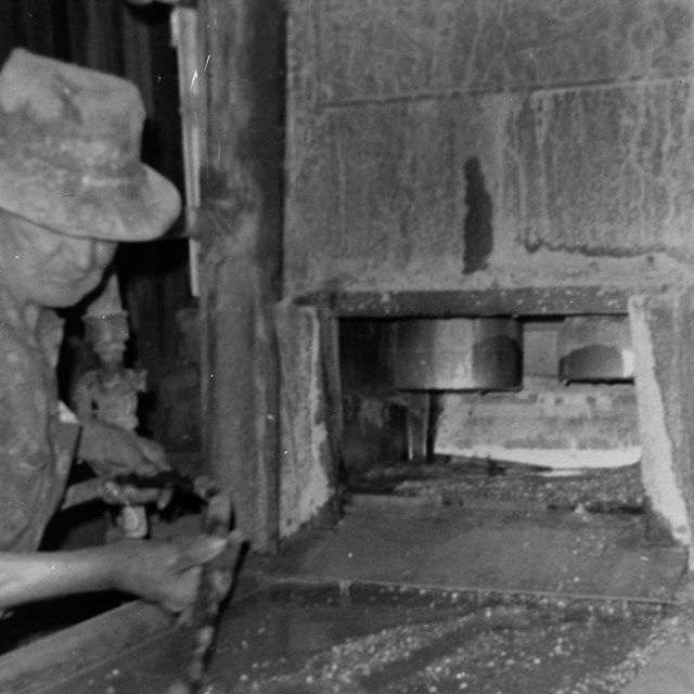 Bill Keys Cleaning Up after Mill Run
Historic American Engineering Record, HAER CAL,36-TNPAL.V,2--36
-
 Wall Street Gold Mill, 1991
Historic American Engineering Record, HAER CAL,36-TNPAL.V,2--39 (CT)
-
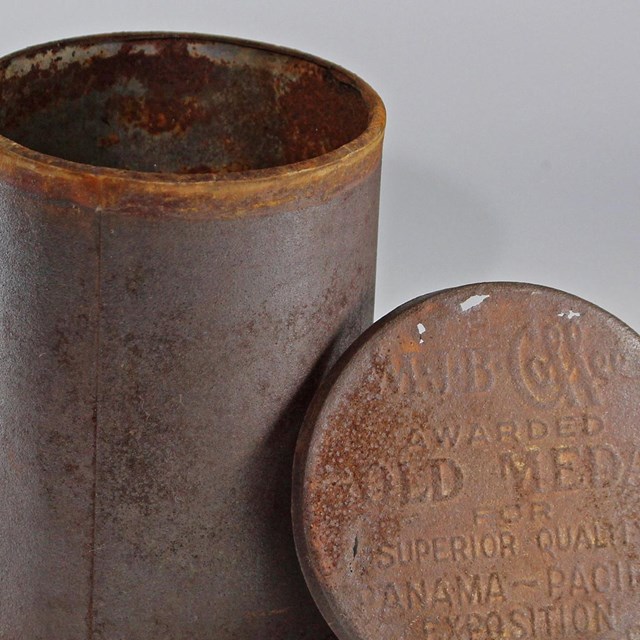 Coffee Tin
Joshua Tree National Park, JOTR 31261
-
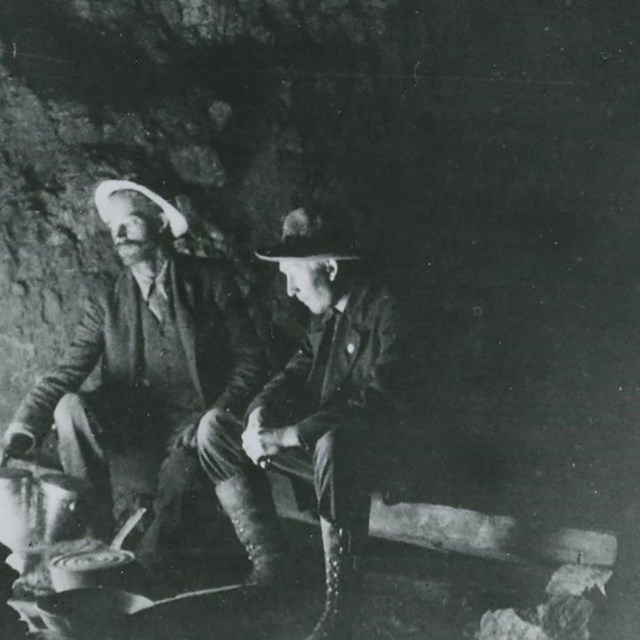 Chester Pinkham and unidentified man
Joshua Tree National Park, JOTR 20575 #1620
-
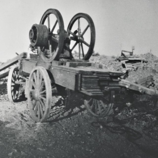
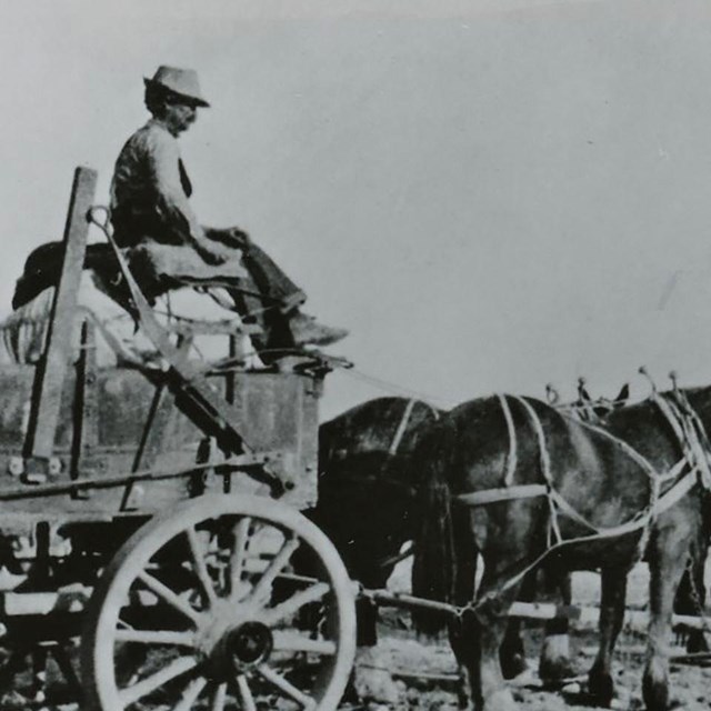
 Freight Wagons at Lost Horse Wells
Joshua Tree National Park, JOTR 20575 #1618
-
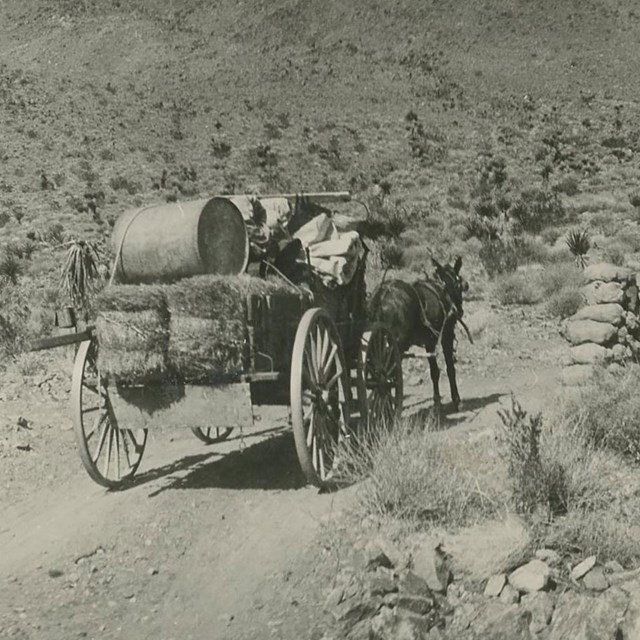
 Freighting from Banning to Dale Mine
Joshua Tree National Park, JOTR 20575 #1625
-
 Keys Ore Haul
Joshua Tree National Park, JOTR 40127
-
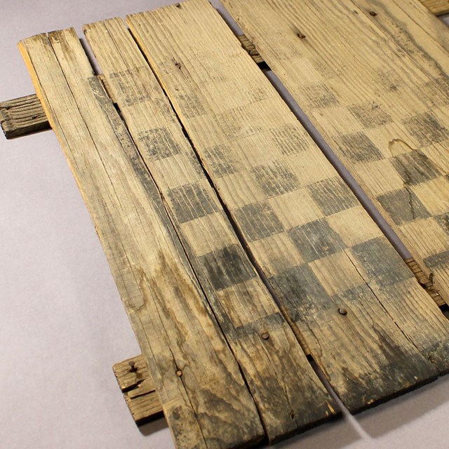 Game Board
Joshua Tree National Park, JOTR 8754
-
 Gold Ore Sample
Joshua Tree National Park, JOTR 1325
-
 Photograph of the Ivanhoe Mine Area
Joshua Tree National Park, JOTR 20575, #2048
-
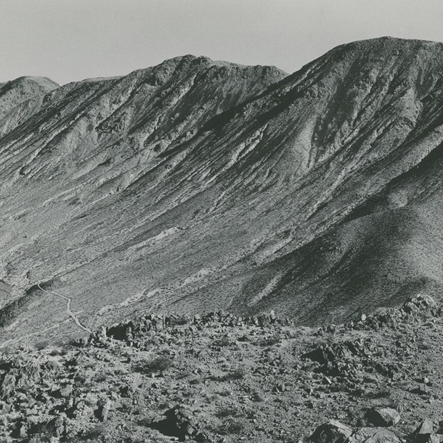
 View from the Lost Horse Mine
National Park Service photograph
-
 Panorama from top of Intersection Rock
National Park Service photograph
-
 View towards Malapai Hill
National Park Service Photograph
Last updated: August 10, 2023