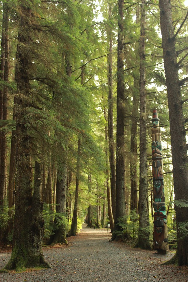
NPS photo/Hoerner Sitka National Historical Park- the Totem Trail and the Russian Memorial Loop- 1.6 milesOne of the nicest walks in town is right outside the door at the Sitka National Historical Park Visitor Center. The park features two loop trails connected by a footbridge spanning the Indian River, for a total of 1.6 miles. Walkers will experience classic Southeast Alaskan temperate rain forest characterized by towering Sitka Spruce and Western hemlock trees and lush, green ground cover punctuated by beautiful vistas of Sitka Sound and the intertidal zone. This parcel of land is of immense historical significance to Alaska. The Battle of Sitka was fought here, which culminated in the Native Tlingit temporarily withdrawing from the area. This allowed the Russian colonists to establish the settlement that would be the headquarters of their American empire, and later became Sitka. This battleground is commemorated at the mouth of the Indian River with a totem pole honoring K'alyaan, the warrior who led Kiks.ádi forces in battle. The Totem Trail and the adjacent grounds outside the Visitor Center features 18 replica and original totem poles carved by Alaska Native carvers. To learn more about the poles, join a ranger-led talk, or call the number posted on the back of the poles to listen to the self-guided cell phone tour. The trail has a broad, gravel surface and minimal elevation change, and is appropriate for all hikers. Dogs must be leashed. 
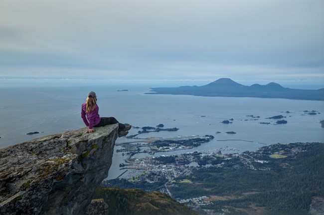
NPS photo/Weston Kessler Mount Verstovia Trail – 2.5 miles (one-way)Mount Verstovia, with its rugged eastern peak and its pronounced saddle to the west, is one of the iconic vistas of Sitka. The trailhead for Verstovia is about two miles south of town on the left side of Sawmill Creek Road, and is clearly marked. The trail ascends steeply from sea level, passing through the historical sites of Russian charcoal pits about a third of a mile from the trailhead. The trail showcases the ability of Southeast Alaskan trees to grow on very steep slopes!
There are several scenic viewpoints along the ascent. Spectacular panoramas abound after the trail breaches the treeline, at about 2,000 feet, and ultimately ends in a rocky, alpine zone at about 2,550 feet. There is no trail to the summit of Verstovia, although it can be reached by climbing the rocky alpine ridge to the northeast. This ascent is steep and exposed and caution is advised.
The Mount Verstovia trail is rugged, very steep, and occasionally slick. Appropriate for experienced hikers. 
NPS photo/Weston Kessler Indian River Trail – 4.5 miles (one-way)
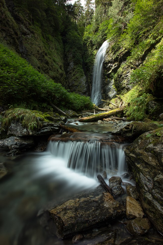
This trail follows the Indian River winds through a densely wooded valley full of old growth conifers. The trailhead is at the end of Indian River Road (also an access point for the Sitka Cross Trail). About a mile in, the trail skirts a muskeg, and on a clear day there is a beautiful view of the Sisters Mountains. However, the main star of this trail is the forest itself!
The trail terminates at the scenic Indian River Falls, one of many places along the trail to enjoy a break by the water. The trail features multiple bridge crossings. There is minimal elevation change, but the terrain is rugged and there are some muddy spots. Appropriate for most hikers. 
NPS photo/Weston Kessler Gavan Hill-Harbor Mountain Trail – 6 miles (one-way)
The Gavan Hill trailhead is located at the end of Baranof Street. A broad gravel path leads into the forest, where the trail briefly intersects with the Sitka Cross Trail and then cuts straight up the side of Gavan Hill. The ascent is steep – about 2,000 feet in less than 2 miles – and spent mainly on wooden stairs. A mile in, there is a viewing platform to catch your breath!
After the trail breaks above treeline, the climb becomes less intense and hikers can enjoy some of the most spectacular views that Sitka has to offer (definitely bring your camera!). The trail follows the ridge to a shelter about 4 miles from the trailhead, and then continues along the north side of Harbor Mountain, ultimately terminating at the top of Harbor Mountain Road (accessible by car in the summer). This is an incredible place to experience Baranof Island's breathtaking subalpine ecosystem.
The ascent is challenging for the lungs and the legs, and the trail is rugged and exposed in spots. Appropriate for experienced hikers. More Sitka TrailsFor more information about these trails and other places to hike and recreate in Sitka, visit www.sitkatrailworks.org. Hiking Tips and Safety |
Last updated: October 22, 2024
