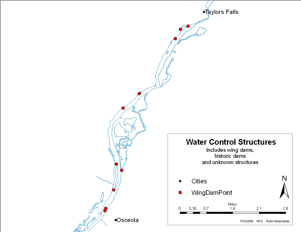
On a busy July 4 in 2007, Rangers Linda Krings and Dale Cox were paddling between the Interstate State Parks and Osceola Landing making informal contacts with visitors enjoying the holiday and the river. The water level was unseasonably low. Water flow on the river just upstream at the USGS St. Croix Falls gauge was only about 3,700 cfs (cubic feet per second) compared to the daily average of 4,600 cfs for that date.
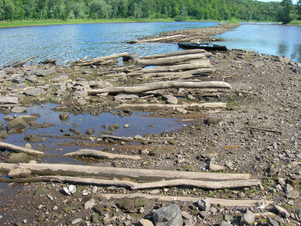
As Ranger Dale recalled: "Just north of an island we call 'Little Big Island' I noticed a long, low area of land above water, stretching around 500 feet in a straight line at an angle from near the Minnesota shoreline downstream towards the north end of the island. It was in the same area I had noted a straight line of what appeared to be deadheads barely above the surface the previous October. I stopped to investigate and discovered it was a well-constructed man made structure, evidently a large wing dam of some kind which I previously was unaware of." Dale proceeded to take pictures of the curious structures and later shared them with the Riverway's Cultural Resource Specialist, Jean Schaeppi-Anderson.
Both Dale and Jean agreed that the rock and log structure were a bit more sophisticated than the usual wing dams created by lumberjacks during the 19th century.Drawing on her historical familiarity with the river and the region Jean concluded that the structure was most likely built by the U.S. Army Corps of Engineers, which had been very active in the rivers of the Upper Midwest since the 1860s.
Taking advantage of the low-water conditions, Jean paddled the river with a GPS marker to discover and document other existing Army Corps structures. Locating several more in a relatively short section of river, Jean believed that the wing dams were worthy of further investigation and documentation as significant physical remnants from the steamboat era.

Where did we go from here? Our next post will discuss the archival research process that took us from St. Croix Falls to Chicago and Kansas City!
![]()
![]()

