Last updated: June 12, 2025
Place
Willamette Falls
NPS
Quick Facts
Location:
Willamette Falls Scenic Viewpoint, 120 McLoughlin Blvd, Oregon City, OR 97045
Amenities
2 listed
Parking - Auto, Scenic View/Photo Spot
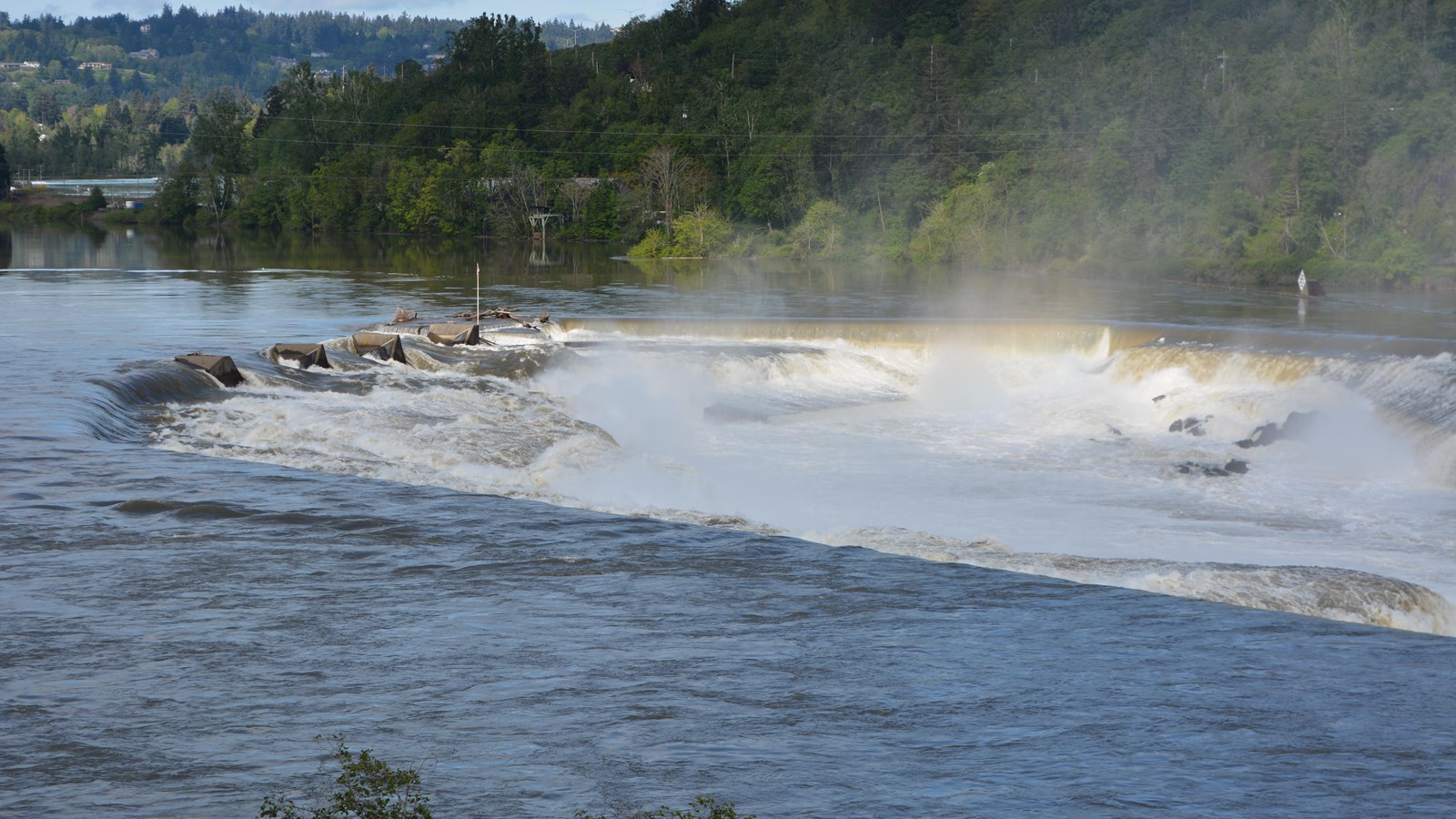
Willamette Falls is an important historic, cultural and industrial site. These falls are the second largest, by volume, waterfall in the United States. Created as a receding waterfall during the outflow of the Ice Age Floods the Willamette River drops over 50 feet here. The falls have been a historic fishing spot and special place for Native Americans to connect with resources.The Willamette Falls is also recognized as the end of the Oregon Trail for the pioneers, and in 1889 the first long distance transmission of electrical power.
The 42-foot-high and 1,500-foot-wide falls occurs 26 river miles upstream from the Willamette's confluence with the Columbia River.
High on the bluffs above Willamette Falls are scablands eroded by the Ice Age Floods: Camassia Nature Preserve on the West Linn side and Canemah Bluff Nature Park on the Oregon City side. These scablands offer nature walks where you can enjoy the unique ecology of the area.
Imagine Ice Age Floodwaters several dozen feet above head, carving out and receding the falls!
Viewpoints for the Willamette Falls are located along Highway 99E just south of downtown Oregon City and Interstate 205 (milepost 7.5), again south of the city. The 99E viewpoint offers closer looks at the falls, but the 205 viewpoint is higher up, so you can see more of the surrounding bluffs and scenery.