Last updated: January 15, 2026
Ice Age Floods of Change
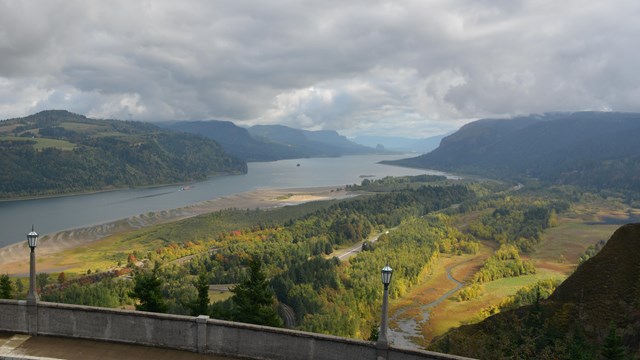
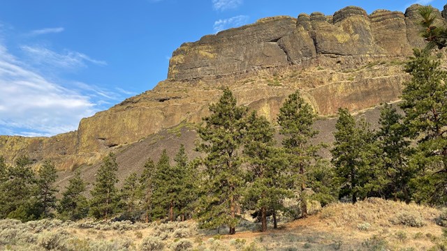
At the end of the last Ice Age, 18,000 to 15,000 years ago, an ice dam in northern Idaho created Glacial Lake Missoula stretching 3,000 square miles around Missoula, Montana. The dam burst and released flood waters across Washington, down the Columbia River into Oregon before reaching the Pacific Ocean. The Ice Age Floods forever changed the lives and landscape of the Pacific Northwest.

Missoula Floods Animation
Explore the complex sequence of events through Ice Age Floods animation.
Learn about the Trail
Learn the story of the Missoula Floods.
Places To Go
Explore Ice Age Floods National Geologic Trail and the 4 states which the Missoula Floods flowed through.