Last updated: August 8, 2022
Place
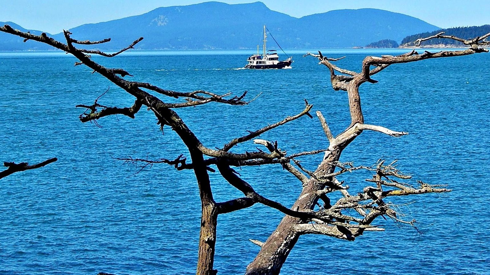
The Rosario Strait
Strait Salish peoples have traversed The Rosario Strait since time immemorial. It’s closer to the mainland than The Haro Strait, and is better for local over international shipping.
Spanish colonizers Manuel Quimper and Juan Carrasco thought that it was a bay during 1790 voyages. But in 1791, José María Narváez determined it was a strait and renamed it the "Canal de Fidalgo."That same year, Francisco de Eliza named the whole Strait of Georgia the "Gran Canal de Nuestra Señora del Rosario la Marinera. "
The Rosario Strait was the British's favored boundary line during the San Juan Boundary Dispute. The Oregon Treaty (1846) split North America between the two countries along the 49th parallel. Unclear treaty language let, ownership of San Juan Island disputed. It didn't specify which channel defined the boundary. Both countries claimed ownership of San Juan Island. If the British had gotten their way, the Rosario Strait would be the border, and today San Juan Island would be Canadian. Instead, Kaiser Wilhelm I, the boundary arbitrator, decided that the Haro Strait would be the United State's boundary, placing the San Juan archipelago under American control.
Today, the strait is a domestic border, separating Washington State’s Skagit, Whatcom, and San Juan counties. More than 500 oil tankers cross these waters each year to reach local refineries.