Last updated: August 31, 2022
Place
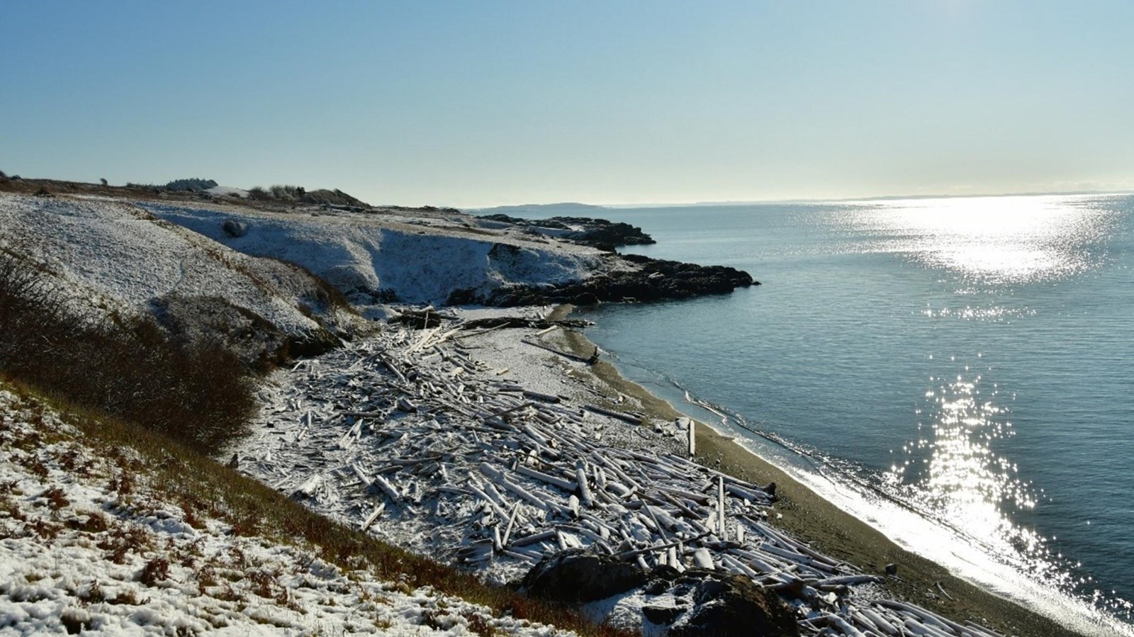
The Haro Strait

Straits Salish people have traveled these waters since time immemorial. The water has land on both sides: Vancouver Island on the west and San Juan Island on the east. Its central location makes it great for both local and international shipping and traveling.
In 1790, Spanish Peruvian colonizer Manuel Quimper named the strait after his ship's pilot: Gonzalo López de Haro. Over the next couple of years, more European men (José María Narváez and George Vancouver) mapped and explored the strait
The Haro Strait played a large role in the San Juan Island Boundary Dispute between the United States and Britain. The Oregon Treaty (1846) split North America between the two countries along the 49th parallel. Due to unclear wording within the treaty, ownership of San Juan Island was still disputed. It didn't specify which channel in the archipelago defined the boundary. Both countries believed the island to be theirs. This led to a 12 year joint occupation of San Juan Island known as the Pig War.
Americans wanted Haro Strait to be the boundary, with President Buchanan writing, “the line shall pass through the Canal de Arro… this would probably be the fair construction.”
In 1870, the conflict was arbitrated by Germany’s Kaiser Wilhelm I. He decided that the Haro Strait would be the western-most boundary of the United States, which placed the island under American control.
Today, the Haro Strait is still used for shipping and travel. It’s especially good for nature watching tours. There is a dense population of orca whales, seals, sea lions, and sea birds. Unfortunately, the sounds from boats disrupt the hunting, navigation, and communication of the southern resident killer whales. In an attempt to make the water quieter, it is suggested that boats slow down when traversing the strait.
