Last updated: May 30, 2023
Place
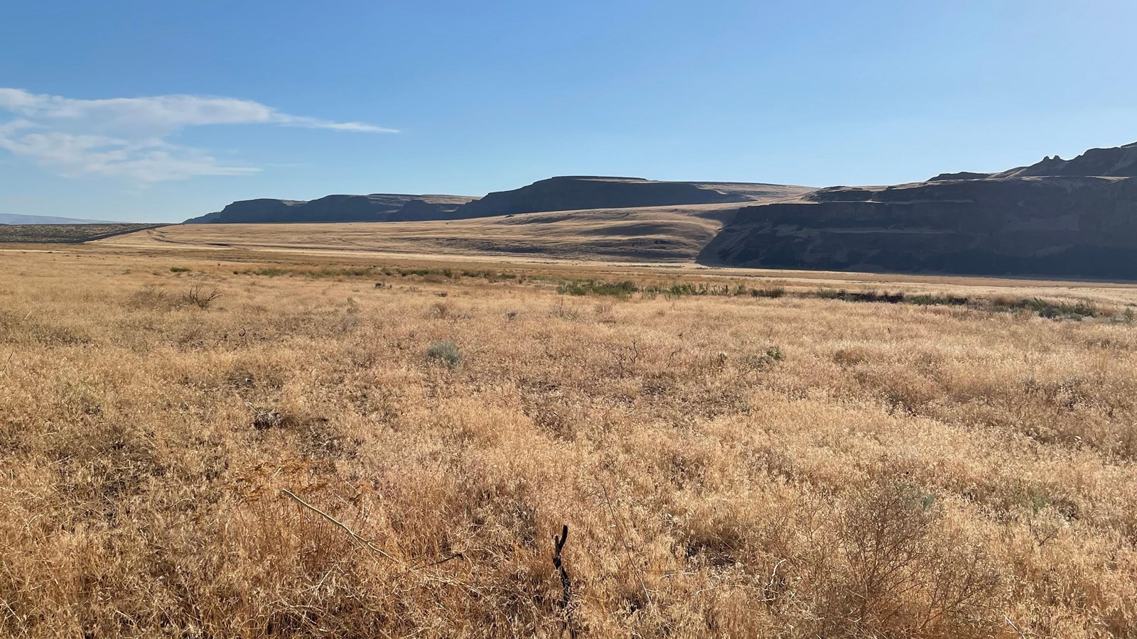
The Great Gravel Bar of Moses Coulee National Natural Landmark
NPS
Quick Facts
Amenities
1 listed
Scenic View/Photo Spot
At the time of one of the first floods to be released from Glacial Lake Missoula, the Okanogan Lobe of the continental ice sheet had spread across the Columbia Valley and onto the Columbia Plateau to a position about 24 kilometers (14 miles) north of the site and so had caused the diversion of the glacial Columbia River into the former channel of Moses Coulee. When the outburst flood occurred, violently erosive torrents rushing down the Columbia River drainage were diverted into the Moses Coulee channel, causing in a single flood event the formation of a long, deep coulee second only to the Grand Coulee in size (see Grand Coulee NNL). Powerful eddies in the turbulent waters formed behind protrusions in the coulee walls along the inside of channel meanders (i.e. especially Armour Draw and the draw 1.6 kilometers (1 mile) north of Armour) and further enlarged the embayments behind those protrusions. As the sediment-laden flood currents waned, a 61 meter (200 feet) sheet of gravel was deposited along the coulee floor and a giant teardrop-shaped gravel bar, the so-called “Great Gravel Bar”, formed where flow velocities were lower behind one such prominent bedrock protrusion in the coulee wall.
Although many other flood-related bars occur throughout the Channeled Scabland, the Great Gravel Bar is 5.2 kilometers (3.2 miles) long and as much as 74 meters (240 feet) high and so is perhaps the largest of all. It is known as a “pendant” bar because of its teardrop shape and sheltered position in the coulee which is about 180 meters (590 feet) deep and 1.5 kilometers (1 mile) wide at that location. The bar is composed mainly of pebble-cobble gravel and many large boulders occur on its surface. Most boulders are basaltic, derived from erosion of the coulee walls farther upstream, but a few granitic and other non-basaltic boulders probably were ice- rafted from afar on giant bergs caught in the flood before deposition in the coulee. One feature providing convincing evidence for the bar’s constructional formation is an elongate depression about I kilometer (0.6 mile) long on the bar’s west side, caused by eddy circulation in the water- filled coulee during deposition of the bar.
After the flood the ice sheet advanced another 17 kilometers (10 miles) to its southern-most limit at the head of Moses Coulee. Meltwater streams coursing across the flood gravels in the coulee superimposed an outwash channel network still visible along the valley floor. Since retreat of the glacier, the site has been little modified even by the intermittent stream now occupying the coulee. Alluvial fans built by tributary streams and talus derived from extensive rockfall now lie along the base of the coulee walls. In addition, patchy deposits of wind-deposited silt and volcanic ash (i.e. primarily from the Glacier Peak and Mazama eruptions 12,000 and 6,600 years ago respectively) cover portion of the bar and coulee floor.