Last updated: November 21, 2024
Place
Summerland Trailhead

NPS Photo
Parking - Auto, Trailhead
Season: Summer Only (June - October)
Summerland Trailhead is located along White River Road, which is open to vehicles during the summer season only, typically June-October.
Drive through the White River Entrance and proceed three miles to a parking area near the Fryingpan Creek bridge. The trailhead is across the road. Parking space is limited and fills early on sunny summer days. Additional parking is available at the Wonderland Trail connection approximately one mile east along the White River Road. There is no RV or oversize parking at either location. Have an alternate hike in mind in case parking space is not available.
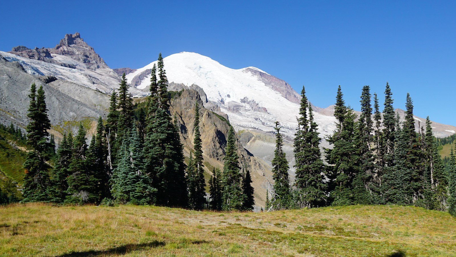
From the parking lot, a short 0.1-mile trail connects to the Wonderland Trail, which branches off to the right and heads north towards the White River Campground. Keep straight and follow the Wonderland Trail as it ascends gradually through mature forest for several miles before entering the upper valley of Fryingpan Creek where hikers find good views of Mount Rainier. Shortly after crossing the creek at a small cascade, the trail climbs steeply for another 0.5 miles before reaching the open subalpine meadows of Summerland. The variety of subalpine wildflowers, panoramic views of Mount Rainier and Little Tahoma, and frequent sightings of mountain goats and other wildlife make this hike extremely popular. This is one of Mount Rainier's most crowded trails, hosting several hundred hikers per day on a nice summer weekend. Round trip, the trail to reach Summerland is 8.4 miles long with 2,100 feet of elevation gain. The trail is dirt, with sections of log or rock steps.
Please hike only on the constructed trails and rest on nearby rocks. Minimize your impact on these fragile meadows so they remain beautiful. Campsites at Summerland are some of the most popular in the park and often fill early on summer days. A wilderness permit is required to camp. Permits and current trail conditions are available park-wide from wilderness information centers, ranger stations, and visitor centers. Treat water before drinking. Fires are prohibited. No pets on trails.
Summerland Trail Map
Map centered on the section of the Wonderland Trail leading to Summerland in the northeast corner of Mount Rainier National Park. The trailhead is along the White River Road near Fryingpan Creek Bridge. A short trail connects from the trailhead to the Wonderland Trail, which then follows Fryingpan Creek up valley. It then climbs up the south side of the valley to the Summerland subalpine meadows. Points of interest are marked by black symbols on the map. Several tools are represented by icons along the left side of the map. A ruler icon opens a tool to measure distance or area on the map. Clicking on plus or minus icons will zoom the view in/out, and clicking on a house icon will return the map to the original view centered on the Summerland Trail.
