Last updated: March 12, 2026
Place
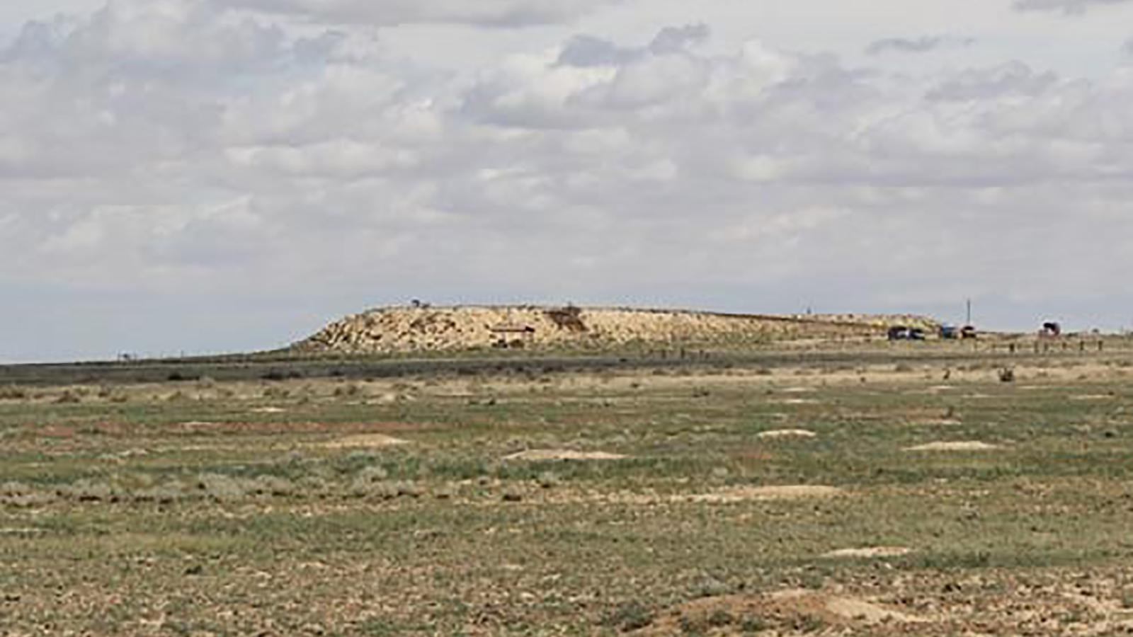
Sierra Vista Interpretive Site, Comanche National Grassland
NPS Photo
Quick Facts
Location:
13 miles from La Junta, Colorado
Significance:
Timpas Creek was the first source of water for Santa Fe Trail travelers after leaving the Arkansas River heading southwest.
Designation:
National Grassland
MANAGED BY:
Amenities
2 listed
Historical/Interpretive Information/Exhibits, Trailhead
If you visited southeastern Colorado between 1821 and 1880 you could have traveled the Santa Fe Trail, bringing goods or military supplies to cities and towns along the Trail. Imagine the long stretches of rugged trail, your water supply running out, your food rations consisting of nothing but flour, bacon, sugar, and salt. You can still travel sections of the Santa Fe Trail by foot or horseback. Journey back to the days of covered wagons on the Comanche National Grassland.
Turn into Sierra Vista on the Comanche National Grassland for a unique elevated view of the environment and route of the Santa Fe Trail. Retracement hikes often start at Sierra Vista and head west to the Timpas Picnic Area, approximately three miles to the west. Take note of the flora and fauna of the trail – the scrub plants, cactus, grasses, and uneven surface of the land.
Site Information
Location (13 miles from La Junta, Colorado)
The site features a parking area, trailhead for a three mile trail, DAR marker, Santa Fe Trail alignment limestone marker, shelter, exhibits, and elevated viewpoint on the grassland.