



Last updated: October 30, 2026
Place
Sheep Rock/Soda Point Interpretive Site
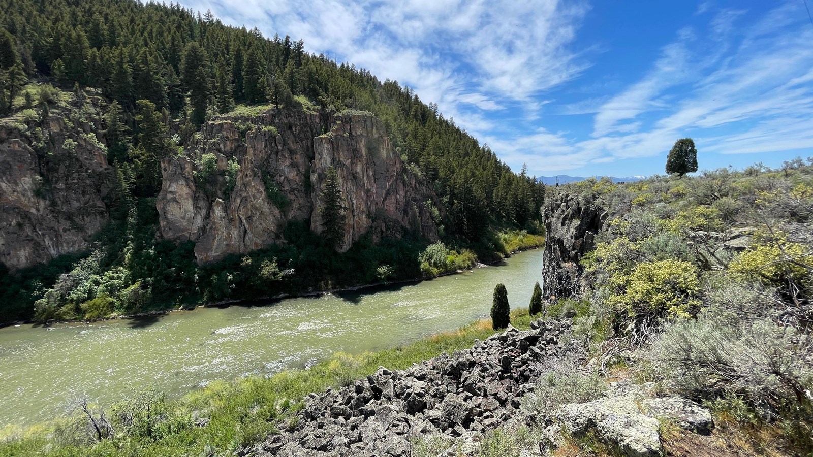
Photo/L. Kreutzer
Quick Facts
Location:
1564 Soda Point Power Plant Rd, Soda Springs, Idaho. GPS 42.64803 -111.70200
Significance:
Sheep Rock, known today as Soda Point, is the northernmost extension of the Wasatch Mountains where the Bear River turns sharply south toward the Great Salt Lake. It was a prominent landmark for emigrants and is where the Bidwell-Bartleson Party split away from the established trail to head toward California.
Designation:
Historic site on the Oregon and California National Historic Trails.
Amenities
3 listed
Historical/Interpretive Information/Exhibits, Parking - Auto, Parking - Bus/RV
Sheep Rock (now known as Soda Point), located along US-30 west of Soda Springs, Idaho, was a prominent landmark on the Oregon-California Trail and is noted in many emigrant journals.
Rising approximately 1,200 feet above the Bear River, the point marks the northernmost extension of the Wasatch Mountains. It takes its name from bighorn sheep that once browsed its rocky slopes. At this location, the Bear River hairpins around the base of the tree-covered basalt bluff and flows south to the Great Salt Lake in present-day Utah.
At Sheep Rock, the emigrant trails to Oregon and California split in 3 directions:
1. The Bidwell-Bartleson Route (1841). The Bidwell-Bartleson Party, first overland emigrants to California, followed the Bear River south into the sagebrush wilds of northern Utah. No later emigrant party retraced their difficult, meandering route.
2. The Primary Route of the Oregon-California Trail. Until the California Gold Rush, most emigrants continued northwest from Sheep Rock to Fort Hall, then traveled southwest along the Snake River. Oregon- and California-bound traffic later diverged at the Raft River, where California emigrants turned southwest toward the City of Rocks.
3. The Hudspeth Cutoff (1849). This route headed directly west from Sheep Rock, bypassing Fort Hall and rejoining the California Trail at the City of Rocks, reducing travel distance by about 25 miles. Most California emigrants followed this trail, despite its challenging terrain.
Today the Sheep Rock/Soda Point interpretive site features numerous exhibits on the history of the emigrant trails, Idaho’s historic transportation corridors, and local geology. Visitors can also walk to the overlook above the Bear River for panoramic views and photography opportunities. The site lies about 5 miles west of Soda Springs on the south side of US-30. A brown highway sign for Sheep Rock indicates the turn. Follow the entrance road past the highway department facility and continue straight as indicated by a second sign.
Site Information
Location (1564 Soda Point Power Plant Rd, Soda Springs, Idaho. GPS 42.64803 -111.70200)