Last updated: March 21, 2024
Place
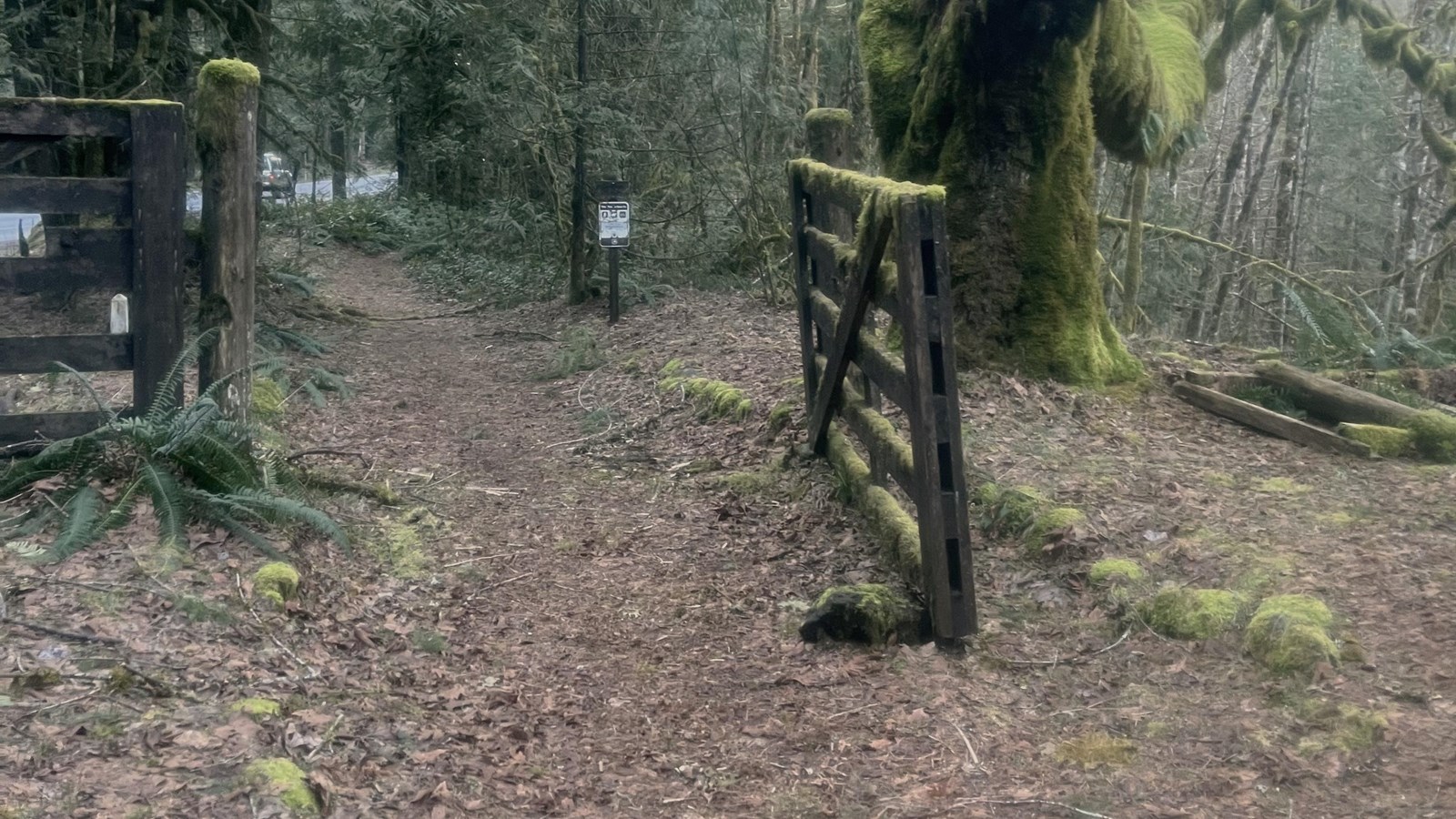
Rhododendron Tollgate

NPS Photo
Historical/Interpretive Information/Exhibits, Parking - Auto
Financed by businessman Philip Foster, Sam Barlow hired a road crew to improve his trail, which opened as a one-way toll road in 1846. The fifth and final tollgate on the turnpike operated here from 1883 to 1915. Interpretive signs tell the story. Nearby, a replica gate stands between two maple trees, which are believed to have been planted by one of the last tollgate keepers.
Lottie Maybe Morris recalled in 1900: "Night of the second day brought us to the old Barlow Tollgate. It looked like any farm gate... But it was locked and there was no way around it, Thick logs and brush barricaded it on both sides. We paid 25 cents to pass through. It was even a social occasion to meet the toll man, as we had not seen anyone since leaving Cherryville.”
Site Information
Location (Highway 26, near Rhododendron, Oregon)
The site is about 5 miles west of the Laurel Hill pullout. A brown sign for Tollgate Campground is approximately 0.5 mile east of the site. The entrance to the small parking lot is on the left, opposite a blue “Travel Info” sign, and a US Forest Service sign for the Pioneer Bridle Trailhead (also called Tollgate Trailhead) is in front of the turnout.
Access to the Pioneer Bridle Trail, which follows segments of the historic Barlow Road and is a major mountain bike route. Though most people park at the easten, and higher elevation parking lot, Glacier View Trailhead. From Glacier View Trailhead (3,600’) this trail descends most of its length to Tollgate Trailhead (1,800’).
