Last updated: January 21, 2022
Place
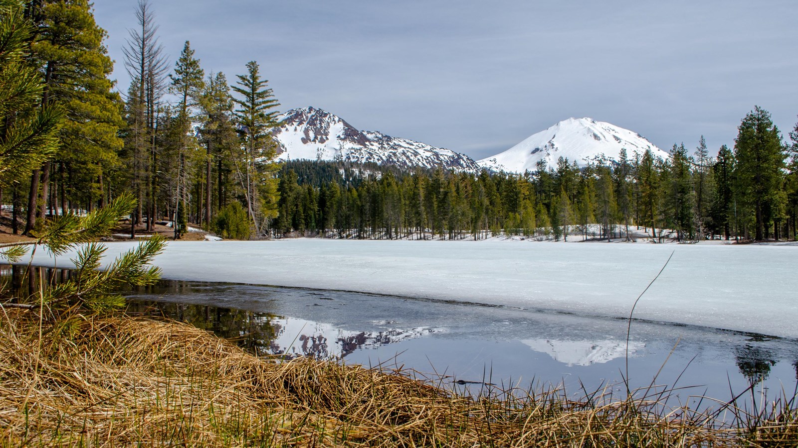
Reflection Lake

NPS/Amanda Sweeney
Trailhead
Reflection Lake wasn't always named such. In the late 1800s, the lake was lower in level and more indicative of a pond and was aptly named, Mud Lake. To attract more people to the area, a channel was dug to divert water from Manzanita Creek into Mud Lake. Trout were planted in the lake with an increased water level. For a few years, people paid the landowner to fish in the lake. Eventually, trout planting ceased.
In 1926, park benefactor Benjamin Franklin Loomis purchased 40 acres, which included the lake. Reflection Lake was one location that Loomis captured photographs of the 1914-1945 Lassen Peak eruptions. Loomis and his wife Estella donated their 40 acres, the Loomis Museum, and the adjacent seismograph building to the park in 1929.
A healthy population of native tui chub fish thrive in the warmer water. Fish stocking ended completely in the park in the early 1990s to preserve natural riparian ecosystems. As a result, the lake attracts water birds such as Canada geese, great blue heron, snowy egret, and kingfisher.
Reflection Lake Route
A half-mile route (not a defined trail) circles the lake and is a shorter alternative to the 1.8-mile Manzanita Lake Loop. The western shore offers unobstructed views of Chaos Crags and Lassen Peak, which are often reflected in the still lake. The route overlaps with the half-mile Lily Pond Interpretive Trail on the eastern shore of Reflection Lake.
