Last updated: September 28, 2023
Place
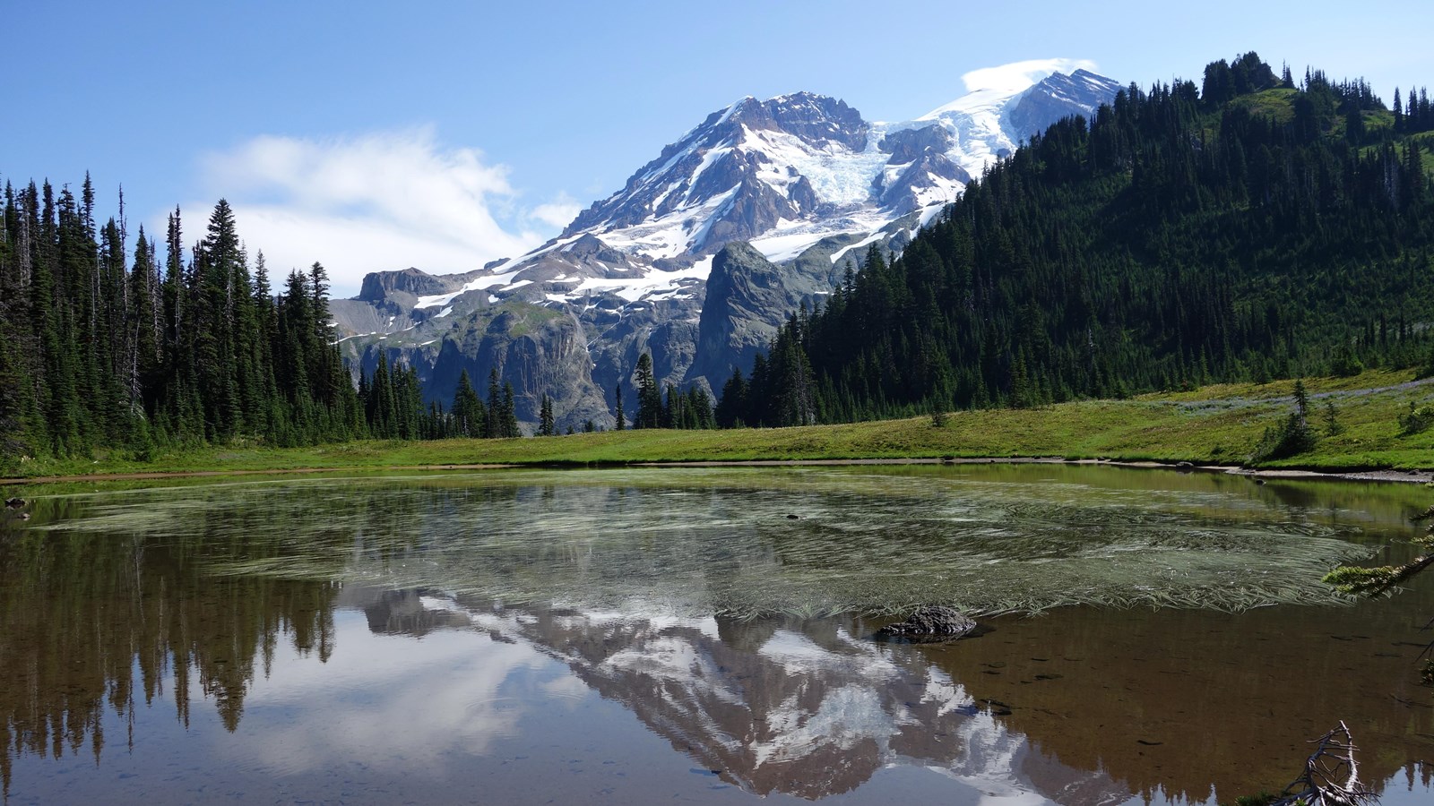
Puyallup Glacier

NPS Photo
Located on the west side of Mount Rainier, Puyallup Glacier begins high up on the mountain in Sunset Amphitheater, a large open basin immediately below the summit. Puyallup is the name of an Indian tribe whose traditional lands include the area around the Puyallup River and Commencement Bay and is one of the park’s associated tribes. The word is said to mean '...shadow from the dense shade of the forest...' (Reese, 2009).
Currently the glacier ends in a hanging valley at the head of the North Puyallup River valley. During seasons of above normal snow accumulation in the Amphitheater, a large ice bulge forms and begins moving down the glacier. When it does so, the terminus advances to the edge of the hanging valley. One such wave in 1960 produced numerous crevasses in the upper part of the glacier. By 1962, the ice in the upper glacier was smooth again while the terminus had advanced, covering rocks that had previously been exposed.
Fifteen thousand years ago, Puyallup Glacier was joined to South and North Mowich Glaciers forming a single ice mass. The farthest advance of the Puyallup Glacier in recent history occurred around 1840, when it flowed well over the edge of the hanging valley.
Viewing Puyallup Glacier: One of the most impressive views of the terminus of Puyallup Glacier is from Klapatche Park. Hike/bike Westside Road (road closed to vehicles at Dry Creek) to the St. Andrews Trailhead. Hike the trail 2.5 miles (4 km) to reach Klapatche Park.
Puyallup Glacier Statistics as of 2021 (Beason et al., 2023):
- Aerial Extent: 1.196 ± 0.065 square miles (3.098 ± 0.169 km2) (Rank: 9 of 29 glaciers on Mount Rainier)
- Highest Elevation (Head): 9,600 feet (2,926 m)
- Lowest Elevation (Terminus): 5,506 feet (1,678 m)
- Elevation Range: 4,093 feet (1,248 m)
- Length: 2.47 miles (3.98 km)
- Average Slope: 19.53°
- Average Flow Direction (direction the glacier flows towards): West (280°)
- Glacier Type: C - Cirque Glacier, or Glacier Head Starts Below Summit
