Last updated: March 31, 2023
Place
Purcell Trench

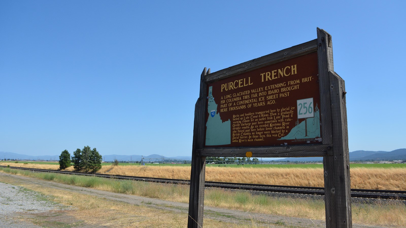
Purcell Trench geology sign
Quick Facts
Amenities
1 listed
Scenic View/Photo Spot
The Purcell Trench is a long, glaciated valley extending from British Columbia to Spokane Washington and helped create the setting for Rathdrum Prairie flood deposits. The area between Lake Pend Oreille and Spokane, WA contains a massive amount of deposits which were the 'break out zones" for the Missoula Floods. In sections of this 370 square mile area deposits are over 800 feet think. Downstream deposits formed earthen dams which eventually blocked drainage basins creating eight debris dammed lakes in north western Idaho.
