Last updated: April 11, 2023
Place
Potholes Coulee

NPS
Quick Facts
Amenities
2 listed
Parking - Auto, Scenic View/Photo Spot
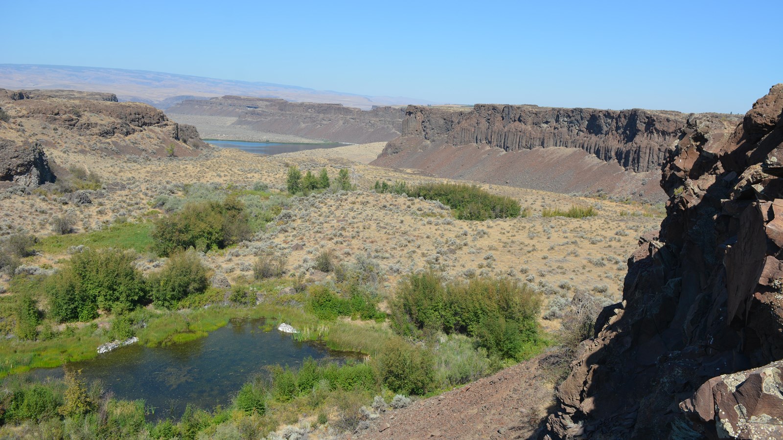
Potholes Coulee is very similar to Dry Falls cataract located in Lower Grand Coulee, in that it consists of two arcuate alcoves separated by a relatively thin “rock blade”. Similar plunge pools (now filled with lakes) are also located at the base of the two alcoves in Potholes Coulee. Ancient Lakes are located in the northern alcove, while Dusty Lake occupies the southern alcove portion below the cataract.
Potholes Coulee was one of the first areas J Harlen Bretz recognized in early 1900’s USGS geologic mapping (Quincy Quadrangle project) as large scale erosional and depositional features (e.g. dry falls, large gravel bars, scabland, etc.) in eastern Washington that could be related to massive flooding. His insights and dedicated research eventually led to the incredible Ice Age Floods (aka, Bretz or Missoula Floods) story we recognize today.
Irrigation water from the Bureau of Reclamation’s Columbia Basin Project collects in the upper portions of Potholes Coulee above the cataract, forming Burke, Stan Coffin, Quincy, and Evergreen Lakes, which are managed by the State of Washington Department of Fish and Wildlife.
