



Last updated: September 12, 2026
Place
Pole Creek Station No. 3
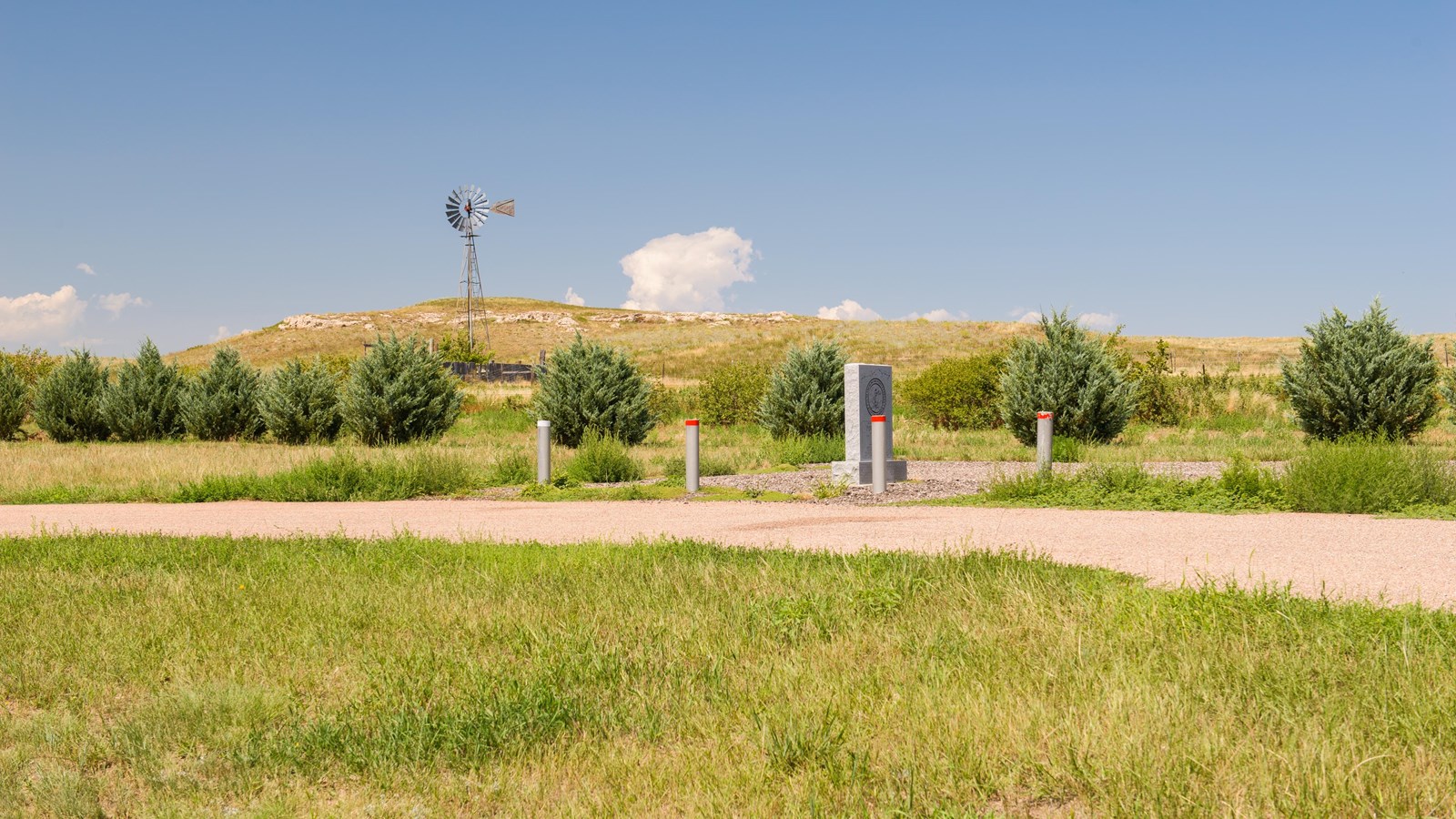
NPS Photo
Quick Facts
Location:
Granite marker stands at a turnout on the north side of US-30/385, about 2 miles east of the 385/30 junction (about 4 miles east of Sidney, Nebraska). GPS 41.1496388889, -102.9058333333
Significance:
A Pony Express (1860-1861) and stagecoach station (1859-1863) stood at this location at the north bank of Lodgepole Creek.
Designation:
Historic site on the Pony Express National Historic Trail.
MANAGED BY:
Nebraska Department of Transportation
Amenities
3 listed
Historical/Interpretive Information/Exhibits, Parking - Auto, Parking - Bus/RV
Pole Creek Station No. 3 was a log and sod dugout along the north bank of Lodgepole Creek on the stage and Pony Express trail that followed the “Jules (Colorado) Cutoff.” This “cutoff”—actually a longer route—left the primary overland trail corridor near O’Fallon’s Bluff, Nebraska, tracked southwest along the South Platte River to Julesburg, and then turned northwest to rejoin the trail corridor near Courthouse Rock. This diversion allowed the mail and passenger services to connect to Denver City and Pike’s Peak country, where a gold discovery had triggered a rush in 1858.
Almost nothing is known about Pole Creek Stations 1 and 2, and only limited information survives about Station No. 3. However, records confirm that it operated throughout the entire Pony Express period, from April through November 1861, and also served as a stage station from roughly 1859 to 1863.
Sir Richard Burton, a British adventurer and author who explored the West by stagecoach in 1860, was unimpressed with Pole Creek Station. He described the small dugout as a scene of “squalor and wretchedness.” He wrote:
The mud walls were partly papered with “Harper’s Magazine,” “Frank Leslie,” and the “New York Illustrated News”; the ceiling was a fine festoon-work of soot, and the floor was much like the ground outside, only not nearly so clean. In a corner stood the usual “bunk,” a mass of mingled rags and buffalo robes; the centre of the room was occupied by a rickety table, and boxes, turned up on their long sides, acted as chairs.
The transcontinental telegraph later followed the same Pony Express and stagecoach corridor. Its completion on October 24, 1861, rendered the Pony Express obsolete. The mail relay operation shutdown almost immediately, but mail already in process posted to the Pony Express continued its cross-country journey through November 20, 1861.
Site Information
Location (Granite marker stands at a turnout on the north side of US-30/385, about 2 miles east of the 385/30 junction (about 4 miles east of Sidney, Nebraska). GPS 41.1496388889, -102.9058333333)