Last updated: April 18, 2024
Place
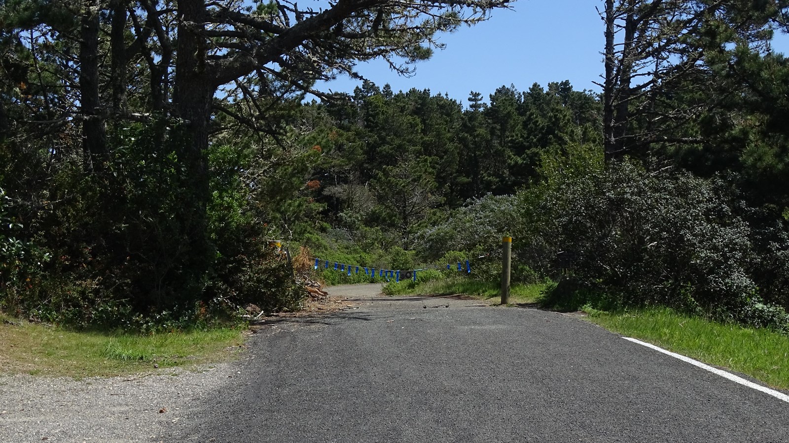
Point Reyes Hill Trailhead
NPS Photo
Quick Facts
Location:
Point Reyes National Seashore's Point Reyes Hill Trailhead is located at the south end of Mount Vision Road, Inverness, California. Geographic Coordinates: 38.08395, -122.8707
Amenities
2 listed
Parking - Auto, Trailhead
The Point Reyes Hill Trailhead is located at the southern end of the Mount Vision Road and the north end of the Inverness Ridge Trail. The Inverness Ridge Trail follows the ridge crest south to Limantour Road and instersects with the Bucklin, Drakes View, and Bayview trails, all of which lead into the Phillip Burton Wilderness and the 1995 Vision Fire zone. Mount Vision Road is a single-lane, two-way road with many sharp switchbacks; vehicles more than 24 feet in length and vehicles pulling trailers are prohibited.
Suggested routes from this trailhead
- Hike to the top of Point Reyes Hill: 1 mile (1.6 km) roundtrip, easy
Follow the Inverness Ridge Trail for 0.4 miles (0.7 km), then turn right onto the Bucklin for 480 feet (~145 m) to a bench with a view. Bikes are permitted on the Inverness Ridge Trail, but not on the Bucklin Trail. - Hike the Bucklin–Muddy Hollow Road–Drakes View–Inverness Ridge loop: 7.7 miles (12.3 km) roundtrip, strenuous
- Hike the Bucklin–Muddy Hollow Road–Bayview–Inverness Ridge loop: 8.6 miles (13.8 km) roundtrip, strenuous
- Bike the Inverness Ridge Trail to Bayview Trailhead: 6 miles (9.6 km) roundtrip, strenuous
Park Regulations
- Take only pictures; leave only footprints: Almost everything one finds at Point Reyes is protected by law, including shells, rocks, fossils, flowers, and artifacts.
- Please only travel on authorized trails, respect posted signs, and practice Leave No Trace principles when recreating in the park.
- Check current conditions and trail advisories and closures before your visit.
- Bicycles are permitted on the Mount Vision Road and on the Inverness Ridge Trail from the Point Reyes Hill Trailhead to the Bayview Trailhead, but are prohibited on the Bucklin, Drakes View, and Bayview Trails, all of which lead through the Phillip Burton Wilderness.
- Pets are not permitted on any of the trails that depart from the Point Reyes Hill Trailhead. Visit our Pets page to learn where pets are permitted at Point Reyes National Seashore.
- Horses and pack animals are permitted on most park trails, but horse trailers are prohibited on Mount Vision Road, so one would be unable to start their horse ride from this trailhead. Please visit our Horse Riding page for more information.
- Drones are not permitted anywhere in Point Reyes National Seashore.
Parking
The Point Reyes Hill Trailhead parking lot is approximately 40 minutes by car from the Bear Valley Visitor Center. There is a small dirt parking lot with space for ~30 vehicles at the south end of Mount Vision Road 3.8 miles (6.1 km) from Sir Francis Drake Boulevard.
- Mount Vision Road is a two-way, one lane wide with sharp switchbacks and does not have many good places to pull off. Drive slowly and cautiously.
- Vehicles more than 24 feet (7.2 meters) in length and vehicles pulling trailers are prohibited from using Mount Vision Road. If you are traveling with a trailer or are driving an RV towing a passenger vehicle, consider unhitching at the bus/RV/trailer-only parking lot at Bear Valley and taking only the passenger vehicle for the drive out to the Estero Trailhead.
- Mount Vision Road is closed when the fire danger is high, very high, or extreme. Call the park's Fire Danger information line at 415-464-5100 x2 x1 to learn what today's fire danger rating is.
Directions to Bear Valley
Directions from Bear Valley to the Point Reyes Hill Trailhead