



Last updated: August 22, 2026
Place
Plum Creek Station
NPS Photo
Quick Facts
Location:
Located about 8.4 miles southeast of Lexington, Nebraska, on the south side of the Platte River directly opposite Dogwood Wildlife Management Area. The marker is on the east side of A Rd approximately 0.2 mile south of the junction of A Rd with 749 Rd. GPS roadside marker 40.680183 -99.625210
Significance:
General location of Pony Express and Overland Stage station, 1859-1864.
Designation:
Historic site on the Pony Express National Historic Trail.
MANAGED BY:
Phelps County
Amenities
1 listed
Historical/Interpretive Information/Exhibits
Plum Creek Station stood near the south bank of the Platte River about 35 miles west of Fort Kearny. Originally established as a trading post, it served as a road ranch and supply point, a Pony Express relay station, and an Overland Stage and telegraph station until its destruction in 1867.
Frank Root, a post office agent who traveled the mail route in the 1860s, and historian William Connelley described Overland Stage and Pony Express operations in their 1901 book, The Overland Stage to California. They called Plum Creek “an important ‘home’ station” that stood in “the heart of the buffalo region.”
“The old-time stage-drivers told me that a few years previous they seldom passed Plum Creek without seeing immense herds of buffalo,” Root recalled, “and that at times it was necessary to stop the stage a while to let the animals past!”
But where buffalo roamed, Native American hunters followed. Angered by settler encroachment into their hunting grounds and by the steady flow of emigrants through their country, Cheyenne, Sioux, and Arapaho warriors launched coordinated attacks across northeastern Colorado and Nebraska Territory in the summer of 1864. Between August 7 and 9, Cheyenne warriors raided wagon trains, road ranches, and stations along the Little Blue River and at Plum Creek, killing around 100 people and abducting several women and children. The Pony Express, which had shut down several years earlier, was not affected, but on August 9 an Overland stagecoach carrying passengers barely outran a war party during a heart-thumping 3-mile chase along the trail.
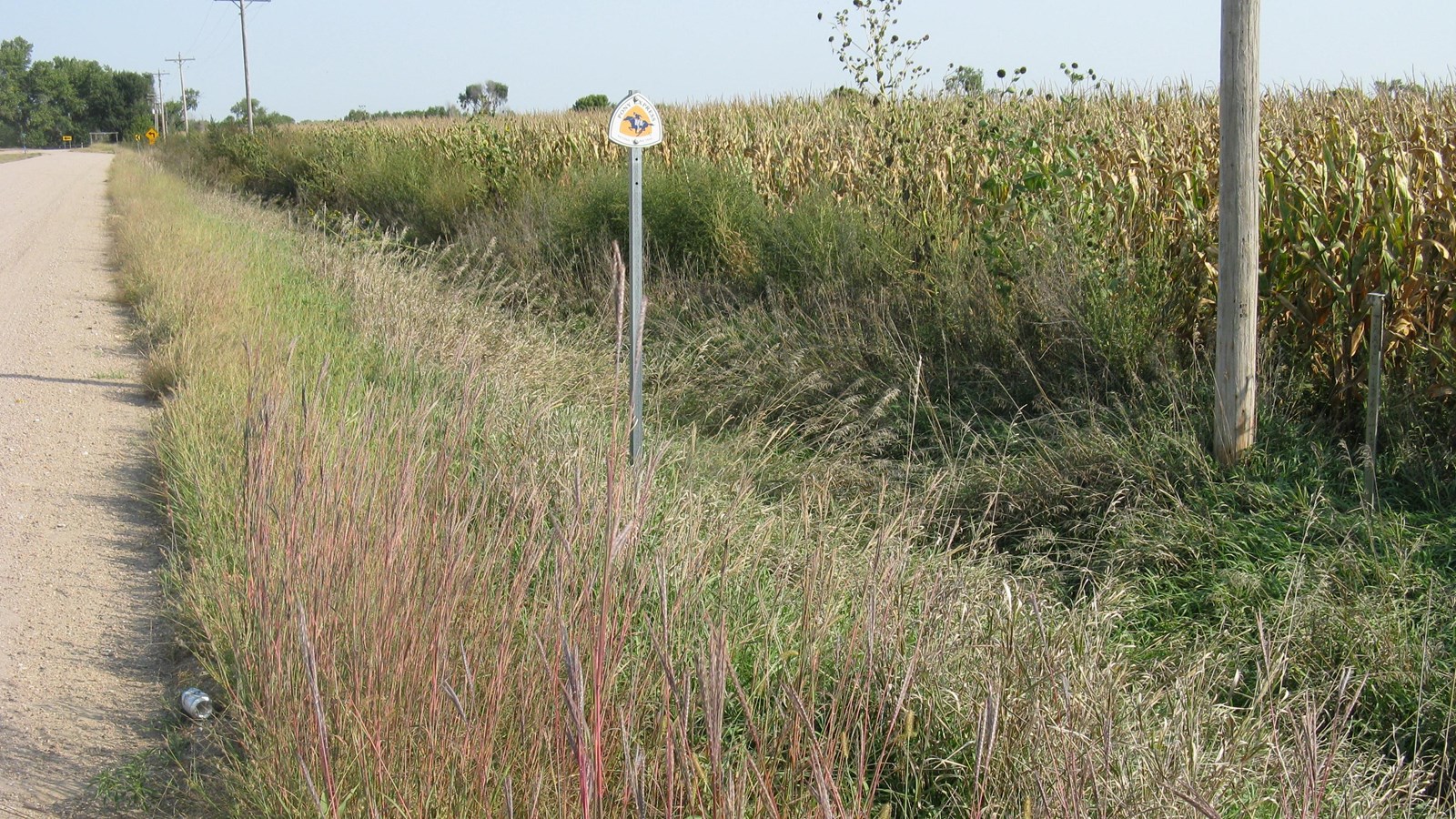
Sometime after August 1867, as hostilities persisted, the Plum Creek stage station reportedly was burned and abandoned. Nothing remains of it today, but a silver post with a Pony Express National Historic Trail stands along A Rd, indicating the station’s general location.
Site Information
Location (Located about 8.4 miles southeast of Lexington, Nebraska, on the south side of the Platte River directly opposite Dogwood Wildlife Management Area. The marker is on the east side of A Rd approximately 0.2 mile south of the junction of A Rd with 749 Rd. GPS roadside marker 40.680183 -99.625210)