Last updated: January 26, 2022
Place
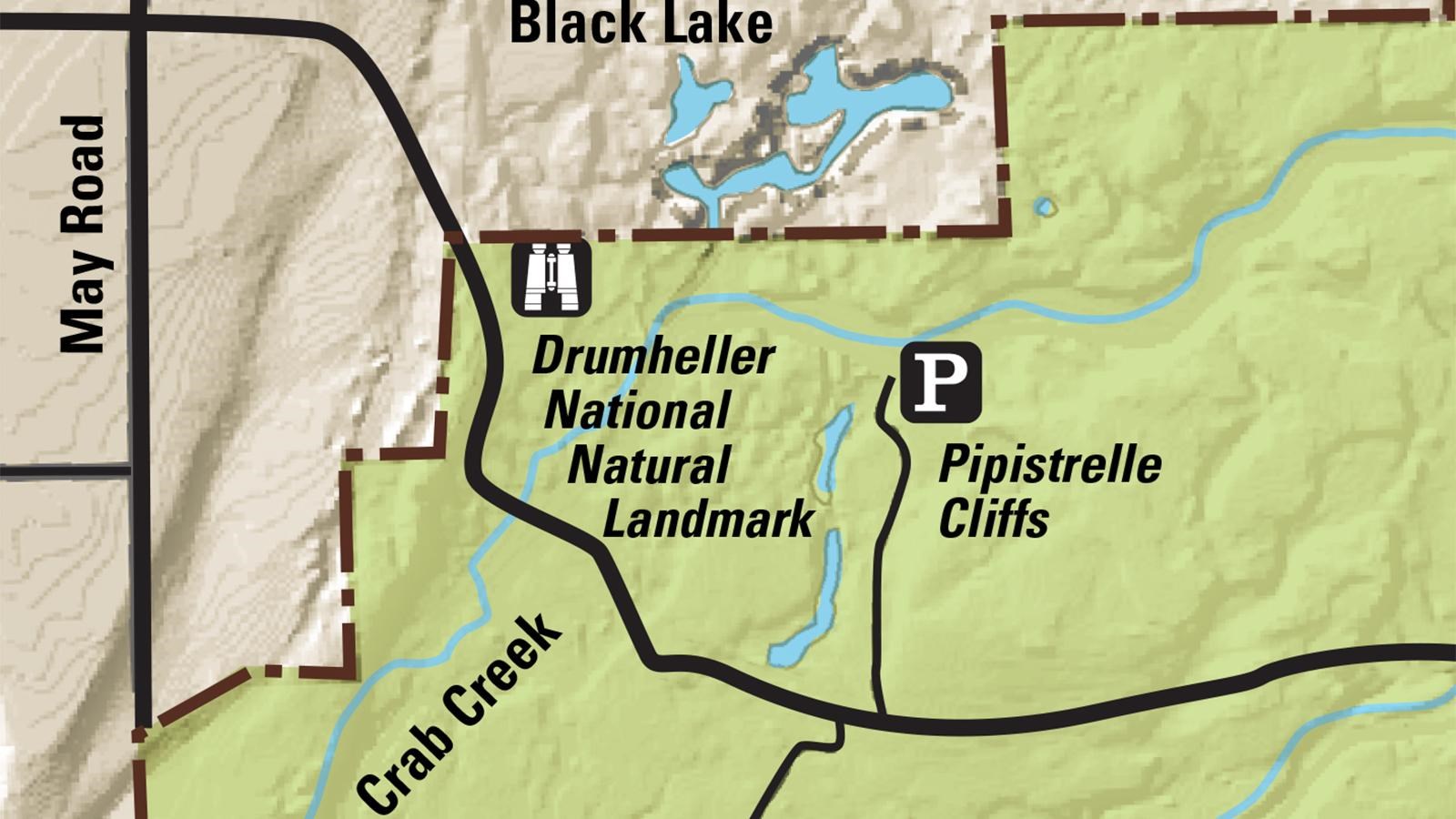
Pipistrelle Cliffs Trail at Drumheller Channels

Columbia National Wildlife Refuge
Quick Facts
MANAGED BY:
This "trail" is not really a trail; it's a hike along a service road that takes you on a hike to Black Lake, which is located off the refuge. However, this is one of the best places to view the exemplary geology of the refuge, including columnar basalt, and the results of the Ice Age floods. The "trail" is about 3/4-miles in length one-way; you must backtrack to return to your vehicle. Take note that Black Lake and its shoreline are in private ownership, so please respect the property owners rights are remain away from the lake.
