Last updated: April 5, 2021
Place
Old Ore Road - North End

NPS
Scenic View/Photo Spot
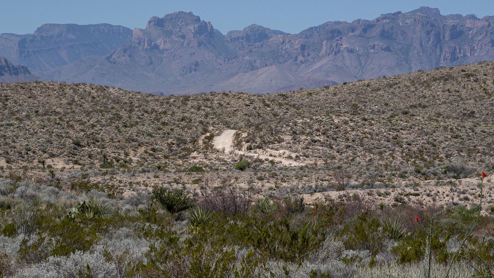
Used in the early 1900s to transport ore from Mexican mines to the railroad station at Marathon, the rugged 26 mile long Old Ore Road generally follows the route used by mule and pack trains a century ago. Drivers can access this road from the southern end near Rio Grande Village, or the northern end along the Dagger Flat Road. It takes approximately 3 to 4 hours to drive the entire road from one end to the other.
The Old Ore Road is very rocky and rough and requires a sturdy vehicle with good tires to negotiate. Be prepared, the northern portion of this road is much rougher and challenging than the southern half. A variety of primitive roadside campsites (permit required) provide opportunities to spend more time in this remote area. The road has excellent views of the Chisos Mountains across the Tornillo Creek drainage to the west. The colorful geology of Ernst Tinaja, five miles from the southern end of the road, is a popular destination.
Before heading out on this road, be well prepared for safe backcountry driving with plenty of water, a jack, and good spare tire. On this isolated, infrequently patrolled backcountry road, a disabled vehicle can quickly become a life-threatening situation.
Protect Big Bend. Always stay on established roadways.
OFF ROAD DRIVING IS PROHIBITED.
