Last updated: September 5, 2023
Place
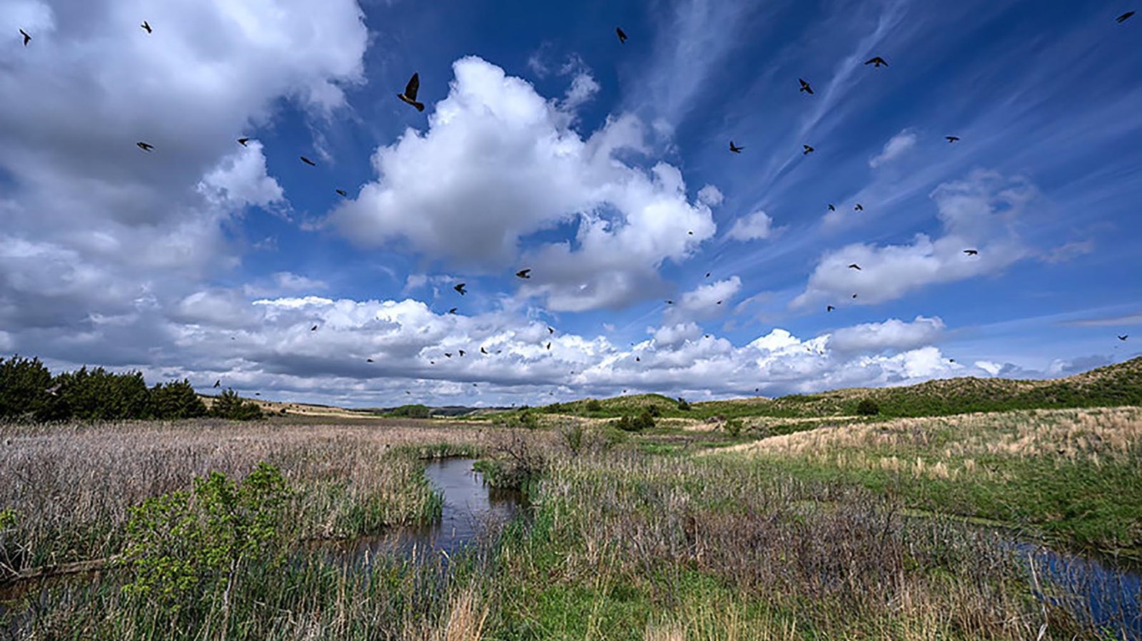
Niobrara/Missouri Confluence
https://flickr.com/photos/dianasch/51413602083/
Quick Facts
Location:
89261 522 Ave, Niobrara, NE 68760-6087
Significance:
Meriwether Lewis and William Clark stopped at the confluence of the Niobrara and Missouri Rivers on their westward journey.
Designation:
Lewis and Clark National Historic Trail, Niobrara State Park, Niobrara National Scenic River
MANAGED BY:
Amenities
19 listed
Beach/Water Access, Benches/Seating, Electrical Hookup - Boat/RV, Fire Pit, Historical/Interpretive Information/Exhibits, Hitching Post/Corral, Internet/WiFi Available, Picnic Shelter/Pavilion, Picnic Table, Playground, Restroom, Sewage Dump Station - Boat/RV, Shelter/Cabin, Showers, Swimming Pool, Tent Campsites, Toilet - Vault/Composting, Trailhead, Trash/Litter Receptacles
Following the meanderings of the Missouri River on its northwest course, the Lewis and Clark Expedition arrived at the convergence of two rivers on September 4, 1804.
The Ponca called the river Níúbdadà or “broad water.” Lewis and Clark commonly referred to it by the French name L’Eau qui Court, or “The Water that Rushes.” It is now known as the Niobrara River, derived from the Ponca name for the river. Sergeant John Ordway observed that “the water Shoots in to the Missiouri verry Swift, & has thrown the Sand out, which makes a Sand bar & Sholes from the mouth a considerable distance.” The shoals and the rapids, according to William Clark, made the river “not navagable for even Canoos without Great difficulty.” Clark managed to eke his way a few miles up the river, however, where he saw an empty Ponca village (everyone was out on a bison hunt).
To Ponca people, the rivers and surrounding landscape are a source of sustenance, physically and spiritually. This is their homeland.
Stories passed down by Ponca elders describe the area around the Niobrara as Wašé, or plenteous. The silty deposits in the river bottoms created fertile soil for cedar, oak, and elm trees. Ponca families farmed in the bottomlands, growing corn, squash, and pumpkins. Fish flourished at the confluence of the Missouri and Niobrara Rivers. The high bluffs and sheltered gullies teemed with mule deer, bison, geese, and other game.
Ponca camps and villages could be found as far north as the Black Hills of South Dakota and as far south as the Platte River. But, according to Ponca elder Louis Headman, the Niobrara “was the last area of land they considered theirs before the removal” to reservations in Kansas and Oklahoma.
About this article: This article is part of series called “Pivotal Places: Stories from the Lewis and Clark National Historic Trail.”
Lewis and Clark NHT Visitor Centers and Museums
This map shows a range of features associated with the Lewis and Clark National Historic Trail, which commemorates the 1803-1806 Lewis and Clark Expedition. The trail spans a large portion of the North American continent, from the Ohio River in Pittsburgh, Pennsylvania, to the mouth of the Columbia River in Oregon and Washington. The trail is comprised of the historic route of the Lewis and Clark Expedition, an auto tour route, high potential historic sites (shown in black), visitor centers (shown in orange), and pivotal places (shown in green). These features can be selected on the map to reveal additional information. Also shown is a base map displaying state boundaries, cities, rivers, and highways. The map conveys how a significant area of the North American continent was traversed by the Lewis and Clark Expedition and indicates the many places where visitors can learn about their journey and experience the landscape through which they traveled.