Elevation: 15,300 feet (4,663 meters)
Mount Fairweather was given its name on May 3, 1778 by Captain James Cook, presumably because of the good weather encountered at the time of his visit.
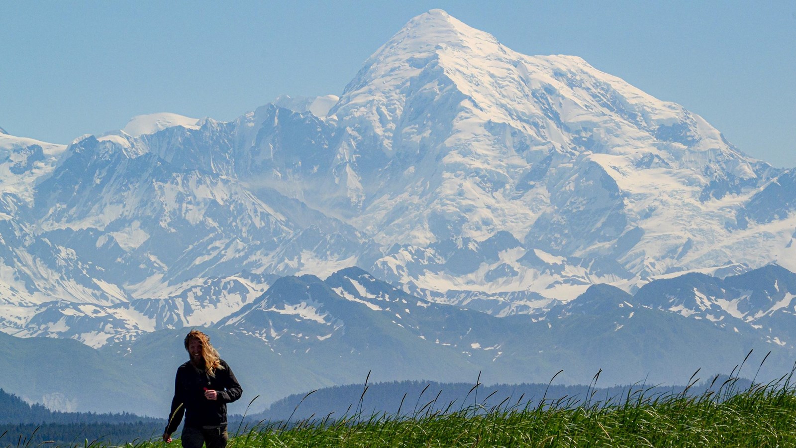
While Southeast Alaska weather notoriously obscures the staggering peaks of the Fairweather mountains, they can be seen from hundreds of miles away on clear days. Towering over the tall trees of Bartlett Cove at the Glacier Bay park headquarters, Mount Fairweather is unmistakable from over 70 miles away.
Elevation Statistics
Measuring 15,300 feet in elevation, Mount Fairweather is the 6
th most prominent peak in North America, making it one of the largest coastal mountains in the world. When seen from sea level, the peak rises to a staggering summit, making tall mountains look like foothills beneath it. Mt Fairweather is the 18
th tallest mountain in North America by elevation. It is the tallest peak in the Canadian province of British Columbia, since it sits on the boundary line between the USA and Canada.
Climbing History
The first ascent of Mount Fairweather was completed in 1931 by a team made up of Allen Carpe, W.S. Ladd, Andy Taylor, and a new member Terry Moore, after a failed attempt in 1926. The mountain was not summitted again until 1958, when the Canadian Centennial Expedition completed a successful climb: Paul Binkert, Fips Broda, Joe Hutton, and Walter Romanes (June 26) Paddy Sherman, David Blair, Dennis Moore, and Russell Yard (June 27) completed the climb on back to back days.
See a list of successful summits on our website.