Last updated: April 16, 2021
Place
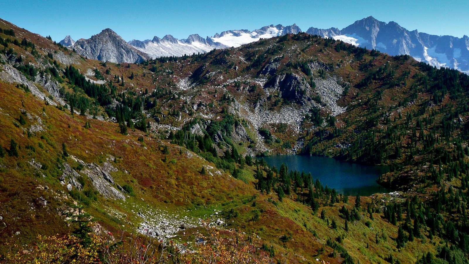
Monogram Lake

NPS Photo
Parking - Auto, Trailhead
The Monogram Lake Trail is a steep, scenic day hike or overnight backpack to a small cirque lake ringed by glaciated peaks and subalpine meadows. The first several miles of trail are steep, forested switchbacks. The trail then enters subalpine meadows before ending at Monogram Lake. A side trip may be taken to a historic US Forest Service lookout station on Lookout Mountain. The meadows around the lake are fragile. Please take care to avoid trampling the vegetation by hiking and resting only on durable surfaces such as the trail, snow or rocks.
- Difficulty: Strenuous.
- Distance and elevation: 10 miles (8 km) roundtrip with 4040 ft (1231 m) gain to ridge.
- Access: Take State Route 20 to Marblemount, then turn onto the Cascade River Road. Follow this road for 7 miles (11 km), then look for a small parking pullout on the right. The signed trail ascends sharply on the left.
- Pets are not allowed once you enter the national park and at Monogram Lake.
- Backcountry camping is allowed in designated sites with a backcountry permit.
