Last updated: August 2, 2024
Place
Maunaulu

NPS Photo
Quick Facts
Location:
Hawaiʻi Volcanoes National Park
Amenities
2 listed
Historical/Interpretive Information/Exhibits, Scenic View/Photo Spot
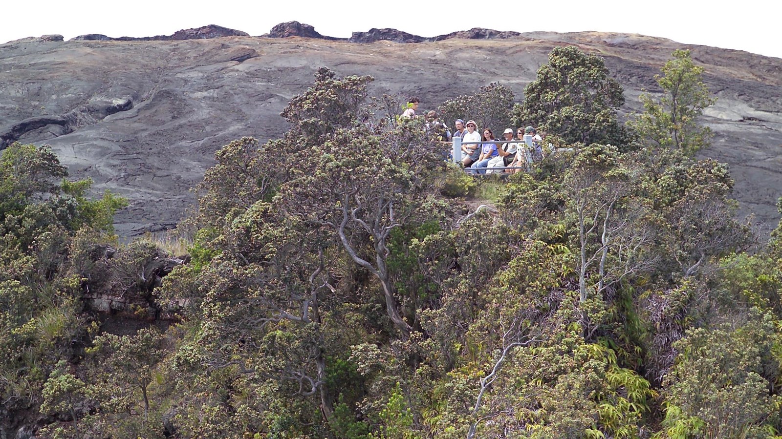
Maunaulu is a prominent lava shield formed during the 1969-1974 eruption. This significant geological event, centered just downhill from Puʻuhuluhulu cinder cone, dramatically surrounded most of the cinder cone over five years.
Puʻuhuluhulu cinder cone is accessible via a short day hike beginning at the Maunaulu parking lot. In reference to its vegetation-covered slopes, Puʻuhuluhulu means "hairy hill" in Hawaiian and stands out in stark contrast to the adjacent lava flows of Maunaulu.
Today, the top of Puʻuhuluhulu features an observation deck that provides a view of the Maunaulu lava shield that formed during the eruption. Puʻuhuluhulu cinder cone is accessible via beginning at the Maunaulu parking lot.
A Maunaulu Trail Guide is also available (pdf- 7.63 MB)
A restroom is available at the Maunaulu parking lot.
