Last updated: November 7, 2021
Place
Whiteoak Canyon Falls Lower Trailhead
Quick Facts
Location:
Whiteoak Canyon Parking Area (Park Boundary)
Amenities
1 listed
Trailhead
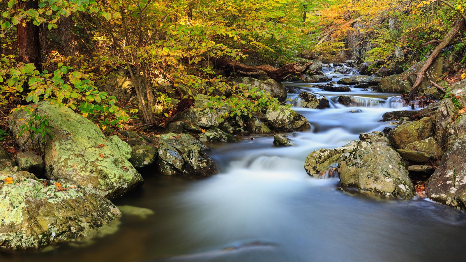
An easier hike to the base of the beautiful cascades and lower falls in Whiteoak Canyon. Note that a Park entrance fee is still required. Pets must be on a leash no longer than 6 feet at all times.
Distance: 2-mile round trip hike
Difficulty: Easiest (hiking difficulty scale)
Hiking Time: 1 hours 30 minutes
Elevation Gain: 500 feet
Hike Description
- From the Whiteoak Canyon Parking Area at the Park boundary, begin on Whiteoak Canyon Trail and keep right at the intersection with Cedar Run Trail.
- Cross a small stream and continue to the base of the lower falls.
- Return by the same route.
Directions to boundary trailhead from Sperryville: Follow Route 211 to Route 522 south for 0.8-mile. Turn right on Route 231, follow 10.2 miles to Etlan, turn right on Route 643. Follow for 4.5 miles and turn right onto Route 600. Proceed 3.5 miles to parking area.
Directions to boundary trailhead from Madison: Route 29 Business, take 231 north for 5.6 miles to Route 670 at Banco. Continue 3.6 miles to Route 643 in Syria. Follow 0.8-mile on Route 643 to Route 600. Continue on Route 600 to the parking area.