Last updated: January 25, 2021
Place
Kūpinaʻi Pali (Waldron Ledge)

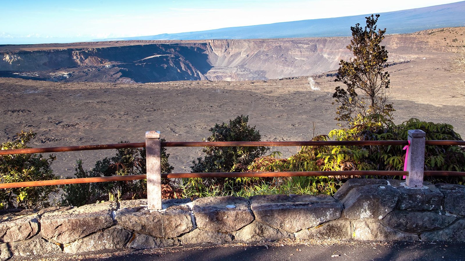
NPS Photo/J. Wei
Quick Facts
Amenities
1 listed
Scenic View/Photo Spot
The Kūpinaʻi Pali (Waldron Ledge) portion of Crater Rim Trail is a gentle walk through history, leading to a panoramic view of Kaluapele (Kīlauea caldera) and Halemaʻumaʻu crater, which dramatically collapsed in 2018.
At one point in time, this stretch of trail was part of Crater Rim Drive, the road that encircled the summit caldera. However, on November 16th, 1983, a magnitude 6.7 earthquake struck the island, decimating parts of the road. Large chunks collapsed and deep cracks developed, rendering it impassable. As part of repairs from the seismic event, the road was re-routed to its current path and the portions left behind were converted to the trail you see today. Look for the painted road lines on the trail, a reminder of its history. Locally, this area may still sometimes be referred to as "Earthquake Trail."
Take a day hike on Kūpinaʻi Pali.
