Last updated: January 15, 2023
Place
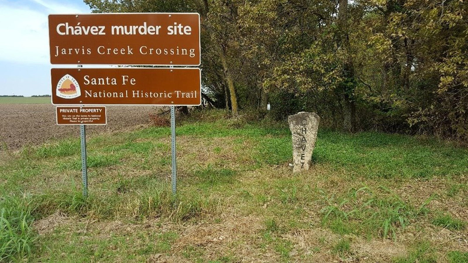
Jarvis Creek Crossing / Chávez Murder Site

Photo/NPS
In 1843, an international incident occurred at point where Jarvis (then called Owl) Creek crossed the Santa Fe Trail. Prominent Mexican trader Don Antonio José Chávez, who made his fortune raising sheep and investing in mining and freighting, was murdered by Missouri ruffians during a trip on the Trail.
Don Antonio José Chávez made two mistakes in 1843 as he set out from Santa Fe for Missouri: the caravan left too early in the season and with too few men. The caravan originally numbered 20 men, two wagons and 55 mules. However, after bitter cold caused frostbite and killed most of the mules, 15 men deserted on the plains. These events put them at a disadvantage when they encountered the Missouri marauders who intended to job the caravans from Mexico loaded with goods and money.
When the Missourians encountered the Chávez caravan, they captured the traders and marched them away from the wagons so the loot could be divided among the criminals. The leader of the gang decided the group should kill Chávez, and afterward, they found his money belt containing 39 gold doubloons. This initiated another search of the wagon, where the thieves found about $3000 of gold dust in a trunk to split between the remaining members of the gang. The body of the unfortunate Chávez was tossed into the gully of Owl Creek. The murderers were eventually caught and punished for the murder.
Site Information
Location (Travel south of Lyons on Highway 96 to Avenue Q. Turn east (left) and travel 4 miles. Turn north (left) and go 1 mile. Turn east (right) and go approximately 1/2 mile. There is a marker to commemorate the incident on your left. The actual site was approximately 1/2 mile north of the marker along the creek.)
