



Last updated: September 12, 2026
Place
Indian Ford
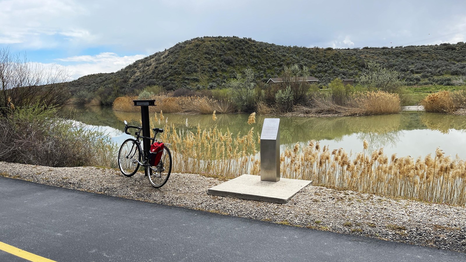
Photo/L. Kreutzer
Quick Facts
Location:
On Jordan River Parkway (hike/bike trail) 2 miles north of Thanksgiving Point Trailhead Park. GPS for Thanksgiving Point Trailhead Park, Lehi 40.417408 -111.892830 GPS for markers 40.432131 -111.912734.
Significance:
In the 1860s, the Pony Express, the Overland Stage, and the transcontinental telegraph crossed the Jordan River at Indian Ford, a shallow ford traditionally used by Native people of the area. A nearby ferry carried traffic in times of high water, serving as many as 500 travelers per day.
Designation:
Historic site on the Pony Express National Historic Trail.
MANAGED BY:
East bank: Utah County. West bank: private
Amenities
11 listed
Benches/Seating, Cellular Signal, Historical/Interpretive Information/Exhibits, Information Kiosk/Bulletin Board, Parking - Auto, Picnic Shelter/Pavilion, Picnic Table, Playground, Scenic View/Photo Spot, Trailhead/Hiker Register, Trash/Litter Receptacles
The Pony Express route ran south from downtown Salt Lake City for 23 miles to Lehi, where riders crossed the Jordan River before turning southwest toward Camp Floyd. Today the old river crossing is a quiet spot along the Jordan River Parkway, a multi-use recreational trail that follows the riverbank.
The Jordan River flows north more than 50 miles from freshwater Utah Lake to drain into the Great Salt Lake. Latter-day Saints named the stream after the biblical River Jordan, which drains into the Dead Sea. Although it is narrow and generally calm now, Utah’s Jordan River could pose a challenge for 19th century travelers. Area settlers adopted a shallow crossing long known to Native Americans, calling it Indian Ford, and added a ferry nearby for use during high-water seasons.
Indian Ford and the ferry served both the Pony Express (1860-1861) and stagecoach lines (1861-1869), and the transcontinental telegraph (established 1861) spanned the river there, as well. In June 1863, a Goshute war party ambushed an eastbound stage as it approached the ford from the southwest, killing two Overland employees and burning the coach. The attack was an act of Goshute resistance to increasing settler, military, and commercial incursions on their lands.
A trail marker and small metallic monument beside the Jordan River Parkway, a paved recreational trail, identify the historic location of the ford and ferry. Access the parkway from Thanksgiving Point Trailhead Park on W Cottonwood Drive in Lehi. (Navigate to the trailhead by entering GPS coordinates 40.417408 -111.892830 in your smartphone mapping app.) Follow the blacktop lane to the river trail, turn right, and walk, jog, skate, or cycle north on the parkway for about 2 miles (4 miles roundtrip). The monuments are above the river on the left. A map of this section of the parkway can be downloaded from Jordan River Parkway Map.
Site Information
Location (On Jordan River Parkway (hike/bike trail) 2 miles north of Thanksgiving Point Trailhead Park. GPS for Thanksgiving Point Trailhead Park, Lehi 40.417408 -111.892830 GPS for markers 40.432131 -111.912734.)