Last updated: May 30, 2023
Place
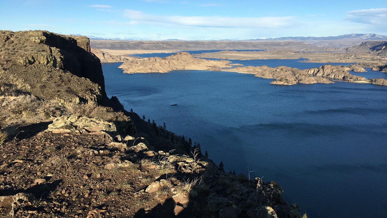
Grand Coulee National Natural Landmark
NPS Katie Person
Quick Facts
Designation:
National Natural Landmark
Amenities
1 listed
Scenic View/Photo Spot
This large geological feature is approximately 81 kilometers (50 miles) long and averages about 16 kilometers (1 mile) in width. Within the Coulee there are illustrations of a series of geological events beginning with a low range of granite mountains through which the ancestral Columbia River flowed. Outpourings of lava built up the Columbia Plateau, diverting the course of the river. There followed deformation of the lava beds, advance and recession of glacial ice, the cutting of a new river course, the formation and retreat of waterfalls, and the return of the Columbia River to its present channel, leaving the Coulee high and dry until man turned part of it into a huge reservoir by artificial damming. Much of the evidence from which this geological story is reconstructed may be seen from Dry Falls State Park; the park is located about 8 kilometers (5 miles) southwest of Coulee City.