Last updated: October 10, 2024
Place
Dry Bay: Glacier Bay National Preserve

NPS
Information - Ranger/Staff Member Present, Shelter/Cabin
The Preserve
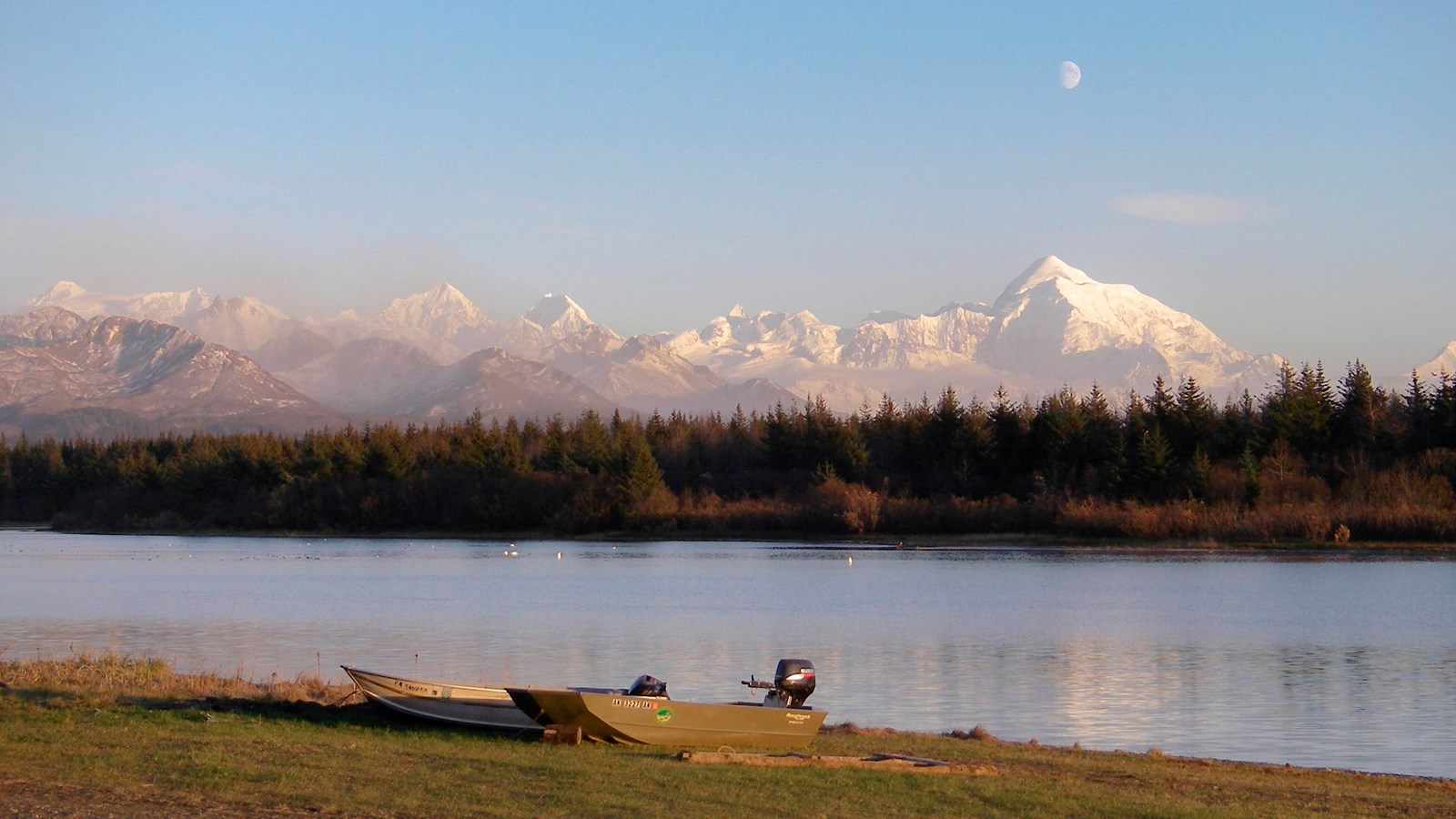
Glacier Bay National Preserve is bounded by Alsek Lake to the north, Deception Hills to the east, the Gulf of Alaska to the south, and the Alsek River to the west. Forming a backdrop to the area are two coastal mountain ranges, the stark glaciated Barbazon Range and the heavily vegetated Deception Hills. Beyond these tower the highest coastal mountains in the world, the Fairweather and St.Elias Ranges. Less than twenty miles from the Gulf, 15,300 foot Mt. Fairweather rises prominently over the area.
Five miles from sea, the Alsek River breaks into meandering channels fanning out over an 80 square mile delta, know locally as Dry Bay. The name "Dry Bay" derives from the fact portions of the delta became dry at ebb tide and when river levels are low. The Alsek is becoming shallower due to silting and glacial rebound which causes the land to rise.Where large ocean-going cannery tenders could sail 60 years ago, Dry Bay fisherman must navigate carefully or risk running aground in small skiffs.
Sport Fishing and Hunting
Sport fishing and hunting remain popular activities in Dry Bay for local residents and visitors alike. Unlike National Parks where hunting is prohibited, the taking of game, in accordance with state laws and federal regulations, is authorized within the Preserve. Sportsmen may utilize any of the three lodges that provide accommodations, or make reservations for the Park Service public use cabin located on the banks of the East Alsek River. A commercial hunting guide provides services to interested parties, while others may choose to camp. Three commercial lodges operate in the preserve.
*Location note: The location indicated here is for the Dry Bay airstrip, and is for illustrative purposes only. Refer to GIS/official navigation guidance before traveling to Dry Bay.
