Last updated: June 28, 2024
Place
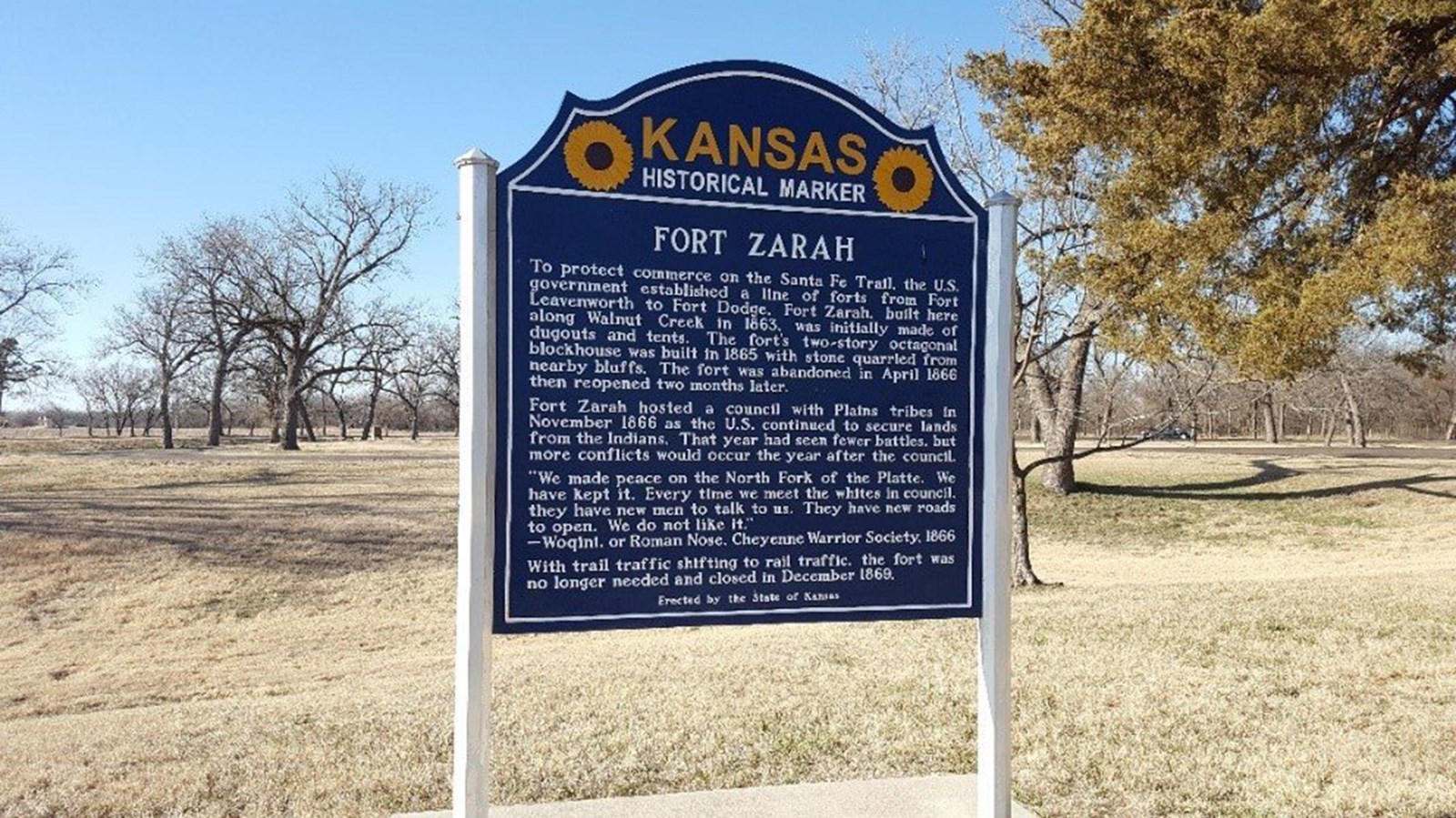
Fort Zarah

Photo/NPS
Historical/Interpretive Information/Exhibits
Fort Zarah was established at the junction of the Santa Fe Trail, Walnut Creek, and the Smoky Hill Military Road as the result of congoing conflict between traders and indigenous communities whose lives and land were threatened by encroaching settlement.
In May 1864, Captain Dunlap and Company H, 15th Kansas, camped at the ranche on Walnut Creek, calling it Camp Dunlap. On July 28, 1864 General Curtis re-named the camp, Fort Zarah, in honor of his son Zarah Curtis, who was killed by Quantrill Raiders (pro-confederate partisan guerillas) at Baxter Springs, Kansas on October 6, 1863.
The first fort was abandoned on April 7, 1866. A second fort was established with stone buildings on June 30, 1866 about 1/2 mile northwest of the first fort, just north of Highway 56 and east of the present day park. The second fort was abandoned in December 1869.
Although gone now, the buildings were made of Dokota sandstone quarried north of the fort. The walls were about 16 inches thick with a smooth face and the inner walls one foot thick. At the southeast and northwest corners there were hexagonal, two-story towers, with two sets of loop holes for rifle ports. These loop holes were arranged in sets of three on a side, and presented a face opening of two inches wide by 16 inches high that widening in the wall to a breadth of about 16 or 18 inches on the inside. Beneath the rooms running across the ends, there were cellars dug 8 feet deep and walled with stone. To the west at a distance of 20 feet was the magazine, which was 12 feet square and connected with the west cellar by an underground passage, 4 feet wide. A short distance to the southeast of the fort stood the guardhouse, a stone building about 14 feet square.
Site Information
Location (South of Highway 56, east of 30th Road, and north of Walnut Creek near Great Bend, Kansas)
