Last updated: November 28, 2023
Place
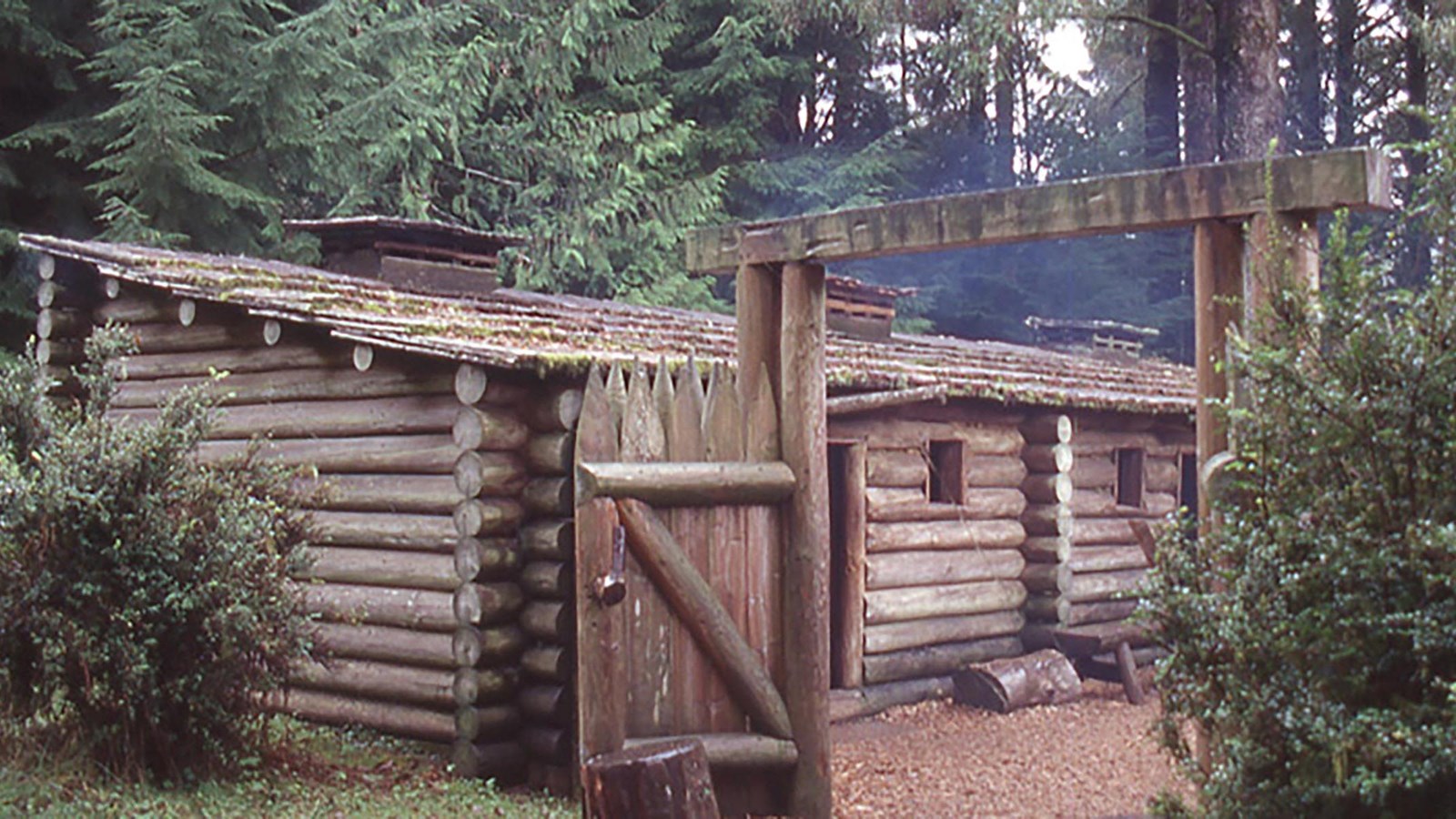
Fort Clatsop / Stealing the Canoe
NPS
Quick Facts
Location:
92343 Fort Clatsop Rd, Astoria OR 97103
Significance:
Meriwether Lewis, William Clark, and the rest of their party spent the winter of 1805–1806 here in a wooden fort that they built, after receiving permission from Clatsop people to do so.
Designation:
Lewis and Clark National Historic Trail, Lewis and Clark National Historical Park, National Register of Historic Places
Amenities
14 listed
Benches/Seating, Canoe/Kayak/Small Boat Launch, Gifts/Souvenirs/Books, Historical/Interpretive Information/Exhibits, Information - Ranger/Staff Member Present, Junior Ranger Activity, Parking - Auto, Parking - Bus/RV, Picnic Table, Restroom, Restroom - Accessible, Trailhead, Trash/Litter Receptacles, Wheelchair Accessible
Clatsop peoples’ homelands are south of the Columbia River, not far from the Pacific Ocean. They speak a Chinookan language and traded often with other people in villages up and down the river. Like other people living on the Lower Columbia River, they were expert canoe-makers and navigators.
Coboway was the leader of a Clatsop village located in what is now Fort Stevens State Park. In the winter of 1805, Coboway gave Meriwether Lewis and William Clark his blessing to build a house in the area.
Coboway and other Clatsop people visited and helped the expedition members many times during the winter of 1805–1806. They brought wapato, berries, fish, whale blubber, dogs, otter skins, cedar bark hats, and canoes to trade with the visitors in exchange for manufactured goods such as glass beads, files, razors, other tools, and thread. Sometimes Coboway stayed overnight, and Lewis showed off the air gun to him. Coboway and his friends also helped two of the expedition members, George Drouillard and Jean-Baptiste Lepage, carry the animals they hunted back to Fort Clatsop.
Coboway was “the most friendly and decent” person in the area, wrote Lewis, after Coboway brought him a present of cured anchovies.
Lewis knew they needed a new canoe for the journey home, and he had tried to buy one from Clatsop people. However, the items Lewis offered—including his fancy dress uniform—were not a sufficient trade for the valuable canoe.
Rather than offer more, Lewis directed his men to steal a canoe: “we yet want another canoe, and as the Clatsops will not sell us one at a price which we can afford to give we will take one from them in lue of the six Elk which they stole from us in the winter.” But Coboway had already brought presents to make up for the stolen elk.
And so, after all Coboway’s kindness and hospitality, Lewis and Clark broke the trust established through months of friendship and trade with Clatsop people and stole a canoe.
About this article: This article is part of a series called “Pivotal Places: Stories from the Lewis and Clark National Historic Trail.”
Lewis and Clark NHT Visitor Centers and Museums
This map shows a range of features associated with the Lewis and Clark National Historic Trail, which commemorates the 1803-1806 Lewis and Clark Expedition. The trail spans a large portion of the North American continent, from the Ohio River in Pittsburgh, Pennsylvania, to the mouth of the Columbia River in Oregon and Washington. The trail is comprised of the historic route of the Lewis and Clark Expedition, an auto tour route, high potential historic sites (shown in black), visitor centers (shown in orange), and pivotal places (shown in green). These features can be selected on the map to reveal additional information. Also shown is a base map displaying state boundaries, cities, rivers, and highways. The map conveys how a significant area of the North American continent was traversed by the Lewis and Clark Expedition and indicates the many places where visitors can learn about their journey and experience the landscape through which they traveled.