Last updated: November 28, 2023
Place
Dismal Nitch, Washington
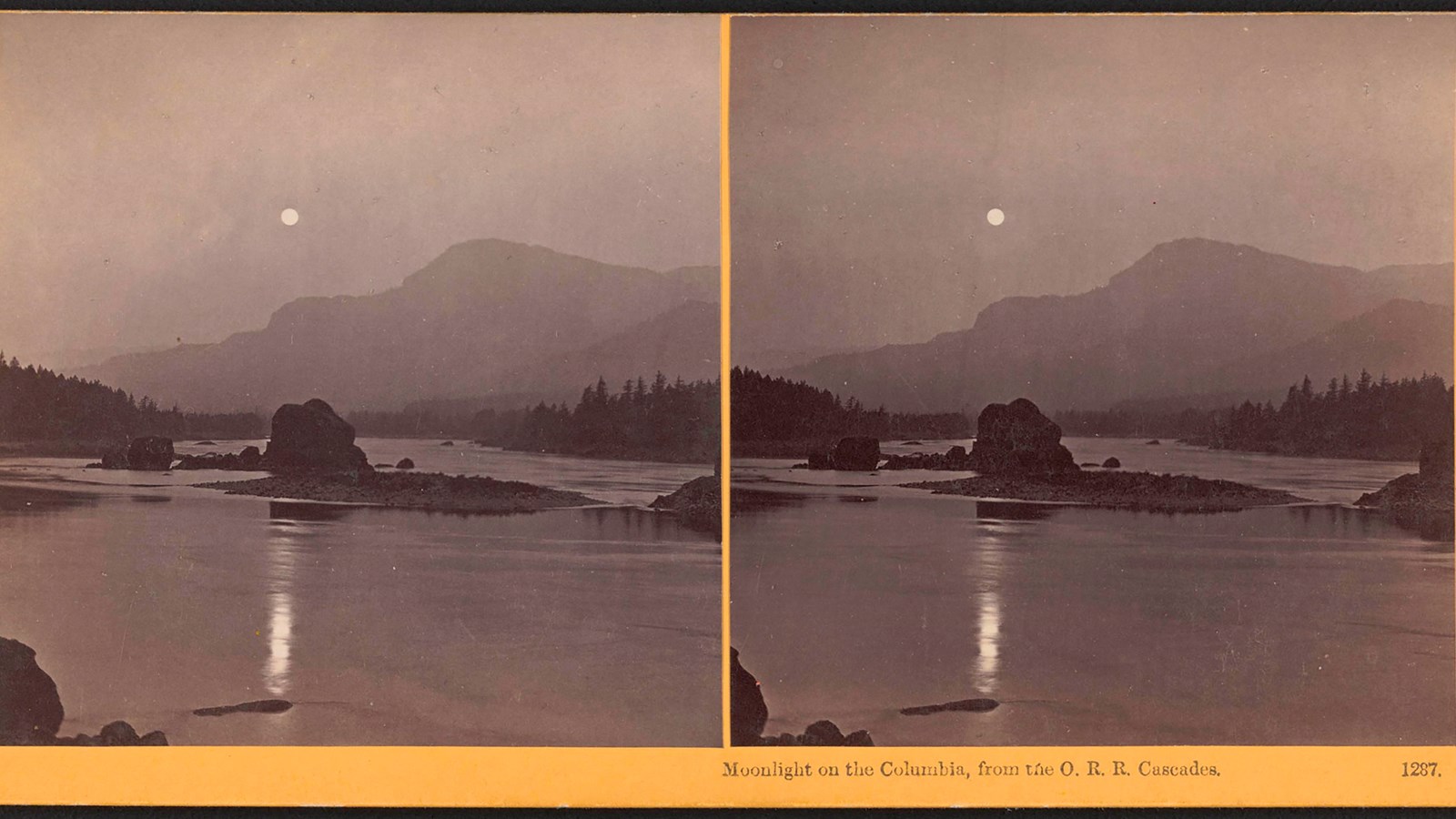
Oregon Historical Society
Quick Facts
Location:
On SR 401, ten miles south of Naselle, Washington
Significance:
A Chinook village was located here, led by Concomly. Meriwether Lewis, William Clark, and other members of their party stopped here on January 9, 1806.
Designation:
Lewis and Clark National Historic Trail, Lewis and Clark National Historical Park
Amenities
11 listed
Benches/Seating, Historical/Interpretive Information/Exhibits, Information - Maps Available, Parking - Auto, Parking - Bus/RV, Picnic Table, Scenic View/Photo Spot, Toilet - Flush, Trash/Litter Receptacles, Water - Drinking/Potable, Wheelchair Accessible
November on the Lower Columbia River is damp and chilly.
Chinookan people living on the Lower Columbia River know how to deal with the wet weather. Their clothes—made of cedar bark, otter fur, and other materials— keep out the rain. Their canoes can ride the waves. They know where to find food in the dark, rainy time of year.
Meriwether Lewis and William Clark’s group wore clothes ill-suited to this constant dampness. Their buffalo robes and buckskins began to rot, even while they wore them. Their tents, blankets, and bedding were soaked, and they had “nothing to eate but dried fish pounded which we brought from the falls.”
Unable to navigate their canoes over the high swells of the river’s mouth, the Lewis and Clark Expedition got stuck here for five nights. They called this spot “Dismal Nitch.”
But even as the group waited, with their “Canoes at the mercy of the waves & drift wood,” Chinookan people continued to navigate their canoes over those same intimidating waves to visit and trade with them.
Chinookan people had spent generations in this climate and knew which type of clothing would keep them warm, which type of canoes would ride the swells.
When Lewis and Clark’s party finally left Dismal Nitch, the place they escaped to was a spot where Chinookan people had a seasonal village made of cedar planks. Even in this “dismal” spot, it was again the knowledge and infrastructure of Indigenous people that enabled Lewis and Clark to survive.
To this day, special river pilots navigate boats through this dangerous stretch of the Columbia River. The knowledge they have of these waves, tidal pulls, and swells is knowledge that Chinookan people have passed on for generations.
About this article: This article is part of a series called “Pivotal Places: Stories from the Lewis and Clark National Historic Trail.”
Lewis and Clark NHT Visitor Centers and Museums
This map shows a range of features associated with the Lewis and Clark National Historic Trail, which commemorates the 1803-1806 Lewis and Clark Expedition. The trail spans a large portion of the North American continent, from the Ohio River in Pittsburgh, Pennsylvania, to the mouth of the Columbia River in Oregon and Washington. The trail is comprised of the historic route of the Lewis and Clark Expedition, an auto tour route, high potential historic sites (shown in black), visitor centers (shown in orange), and pivotal places (shown in green). These features can be selected on the map to reveal additional information. Also shown is a base map displaying state boundaries, cities, rivers, and highways. The map conveys how a significant area of the North American continent was traversed by the Lewis and Clark Expedition and indicates the many places where visitors can learn about their journey and experience the landscape through which they traveled.