Last updated: April 6, 2025
Place
Fort Clatsop

Accessible Rooms, Benches/Seating, Cellular Signal, Historical/Interpretive Information/Exhibits, Large Print, Pets Allowed, Trash/Litter Receptacles, Wheelchair Accessible, Wheelchairs Available
Lewis and Clark NHT Visitor Centers and Museums
This map shows a range of features associated with the Lewis and Clark National Historic Trail, which commemorates the 1803-1806 Lewis and Clark Expedition. The trail spans a large portion of the North American continent, from the Ohio River in Pittsburgh, Pennsylvania, to the mouth of the Columbia River in Oregon and Washington. The trail is comprised of the historic route of the Lewis and Clark Expedition, an auto tour route, high potential historic sites (shown in black), visitor centers (shown in orange), and pivotal places (shown in green). These features can be selected on the map to reveal additional information. Also shown is a base map displaying state boundaries, cities, rivers, and highways. The map conveys how a significant area of the North American continent was traversed by the Lewis and Clark Expedition and indicates the many places where visitors can learn about their journey and experience the landscape through which they traveled.
History
Fort Clatsop was the winter encampment for the Corps of Discovery from December 1805 to March 1806. After finding a location that offered plenty of game and close proximity to the ocean, Clark sketched a preliminary site plan, and they began construction in early December. The fort was completed by January 1st and housed 32 men, one woman, a baby, and a dog. Joseph Whitehouse wrote that the officers named the fort "after a nation of Indians who resided near us, called the Clatsop Nation." They spent the extremely rainy winter collecting supplies, making salt and leather, and preparing their maps and journals.
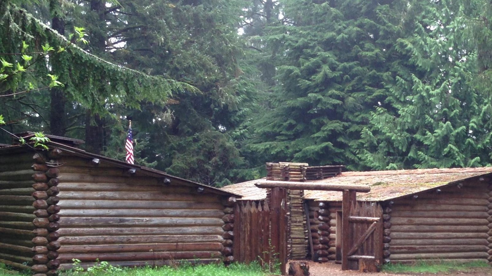
After the expedition finally departed on March 23, 1806, Fort Clatsop gradually deteriorated. A reconstruction of the fort based on Clark's sketch was completed in 1955, but burned down in 2005. Today a second replica, completed in 2006, can be explored in the same location.
Today
Visitors can experience the replica of Fort Clatsop by walking through the rooms, hiking the trails around the area, chatting with costumed rangers, and participating in ranger-led programs during the peak seasons.
The visitor center located at this site provides basic amenities and offers a museum, bookstore, and two films. Make sure to check in with a ranger at the visitor center prior to exploring the park to get a map, receive additional information, and pay any park fees
In the Summer time, between Mid-June and Labor day, you can visit the Fort any time between 9 AM and 6 PM. In the off season the rest of the year the site is open from 9 AM to 5 PM.
Fort Clatsop is a High Potential Historic Site on the Lewis and Clark National Historic Trail.
