Last updated: May 30, 2023
Place
Farragut State Park

NPS
Quick Facts
Location:
13550 E. Hwy 54 Athol, ID 83801
Amenities
16 listed
Accessible Rooms, Accessible Sites, Benches/Seating, Boat Ramp, Canoe/Kayak/Small Boat Launch, Information, Parking - Auto, Parking - Bus/RV, Permits Issued, Pets Allowed, Picnic Shelter/Pavilion, Picnic Table, Recreational Field, Restroom - Accessible, Scenic View/Photo Spot, Water - Drinking/Potable
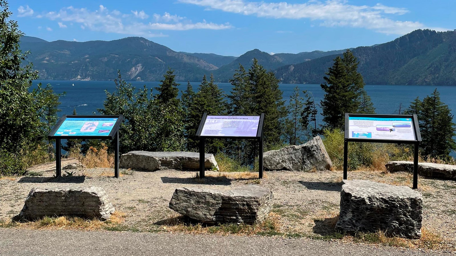
Farragut State Park is located at the “breakout” of Glacial Lake Missoula floods, where the ice dam in the Clark Fork valley and the 20-mile-long tongue of ice occupying the Lake Pend Oreille basin failed. From there, a torrent of water and ice burst from the south end of the lake.
Farragut State Park is located at the “breakout” of Glacial Lake Missoula floods. Failure of the ice dam in the Clark Fork valley fractured and broke apart the 20-mile-long tongue of ice occupying the Lake Pend Oreille basin, and a torrent of water and ice burst from the south end of the lake. That churning slurry of flood waters, ice, boulders and other debris erupted from the south end of Lake Pend Oreille, flowing 2000 ft deep across Farragut State Park.
Nearly all of the water escaping from Glacial Lake Missoula passed through this area. Discharge estimates range from 14 to 21 million cubic meters per second! Vic Baker's definition of a megaflood is one which has a discharge of at least 1mil cubic m/s, so we are possibly looking at ground zero for the worst Pleistocene flood in the world.
Farragut State Park includes many geologic features left by glaciation and megafoods.
Hoodoo channel, an abandoned outlet of Lake Pend Oreille provided a pathway for late-glacial meltwater and for the last outbursts from Glacial Lake Missoula. The channel is marked with a number of closed depressions, probably the result of melting icebergs.
One of the largest of these features have been proposed, including kettles, potholes, and sub-glacial meltwater. Some of that debris was deposited to form the Rathdrum Prairie Outburst Plain, an extensive, heterogeneous mix of flood deposits.
Farragut State Park offers unique scenery, history and an abundance of recreational opportunities.
