



Last updated: July 2, 2026
Place
Emigrant Gap
Photo/L. Kreutzer
Quick Facts
Location:
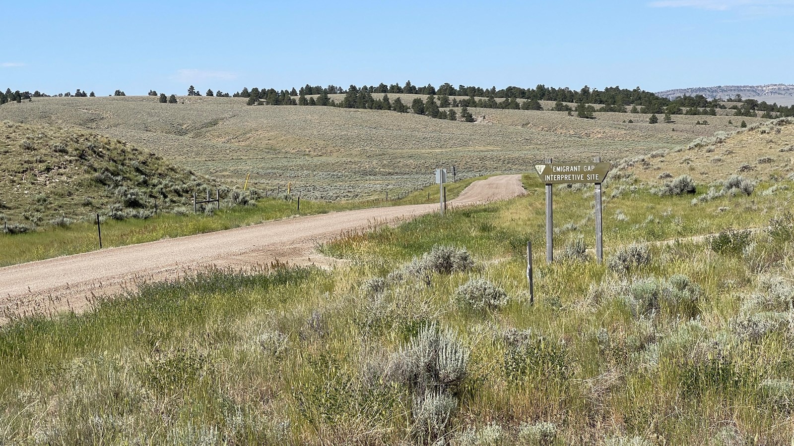
Poison Spider Rd. about 12 mi. west of Casper, WY. To visit Emigrant Gap, from Casper follow the West Yellowstone Hwy/US-20 Business to its junction with Zero Rd/WY-202. Turn left. In 5.5 miles, at a four-way intersection, turn left onto 10 Mile Rd (unsigned). In 0.5 mile, turn right onto Poison Spider Road. About 1.6 mile ahead, several roads intersect, forming a triangle at the center of the intersection. Look there for a brown, wooden Bureau of Land Management sign that reads, “Emigrant Gap Interpretive Site.” A wayside exhibit about Emigrant Gap is beyond it on the right. GPS 42.843915 -106.539371
Significance:
Many emigrants who crossed the North Platte River in the vicinity of Casper continued west through Emigrant Gap, a crossing of a low ridge 11 miles west of the present city. Travelers who went this way began their gradual climb to the Rocky Mountains here.
Designation:
Historic site on the California and Oregon National Historic Trails.
MANAGED BY:
Amenities
3 listed
Parking - Auto, Parking - Bus/RV, Scenic View/Photo Spot
West of Casper, WY, the overland trails split into a braid of short variants—most of them on the north side of the North Platte River. Some travelers on the north side took a trail variant along the river, but many overlanders looped northwesterly toward a low ridge about 11 miles beyond present Casper. They crossed the ridge at a low, narrow gap between two knolls, which became known as Emigrant Gap.
Beyond the pass lay a sweeping vista to the west. Forty-niner Peter Decker noted in his journal, “Here is a very extensive & beautiful view of the bluffs, hills, ravines & mountains, rising one above the other until the view is lost in the vast space the eye discovers on either hand.” After crossing the gap, wagons descended a short, rocky hill with a small pond, Mineral Lake, near its foot. The water there held a dangerously high concentration of naturally occurring salts, known to kill thirsty livestock. The next notable landmark was the Avenue of Rocks.
Site Information
Location (Poison Spider Rd. about 12 mi. west of Casper, WY. To visit Emigrant Gap, from Casper follow the West Yellowstone Hwy/US-20 Business to its junction with Zero Rd/WY-202. Turn left. In 5.5 miles, at a four-way intersection, turn left onto 10 Mile Rd (unsigned). In 0.5 mile, turn right onto Poison Spider Road. About 1.6 mile ahead, several roads intersect, forming a triangle at the center of the intersection. Look there for a brown, wooden Bureau of Land Management sign that reads, “Emigrant Gap Interpretive Site.” A wayside exhibit about Emigrant Gap is beyond it on the right. GPS 42.843915 -106.539371)