Last updated: May 5, 2021
Place
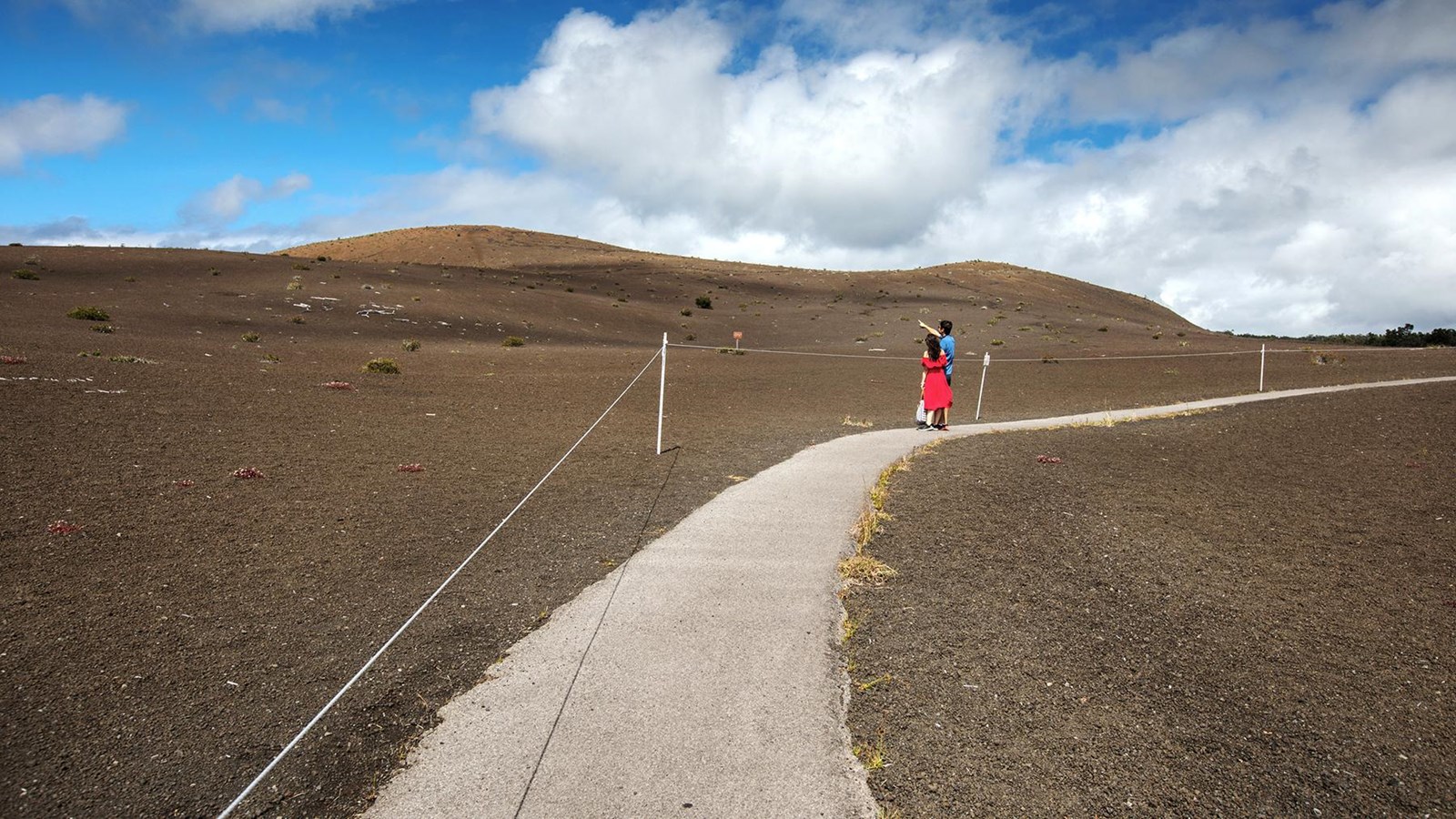
Devastation Trail
NPS Photo/J. Wei
Quick Facts
Amenities
5 listed
Historical/Interpretive Information/Exhibits, Parking - Auto, Restroom, Scenic View/Photo Spot, Trailhead
The Devastation Trail stretches from the parking lot at the Devastation Trailhead to Puʻupuaʻi Overlook,via a one-mile (1.6 km) round-trip walk on a paved path.
The area was blanketed in cinders from the 1,900-foot tall lava fountains during the 1959 eruption of Kīlauea Iki. The trail provides views of the new cinder cone, Puʻupuaʻi, that developed during the five-week eruption. Stay on the paved trail. Do not climb the cinder cone.
Endangered nēnē (Hawaiian geese) frequent this area. Please use caution when parking. Don't feed the nēnē.