Last updated: January 26, 2021
Place
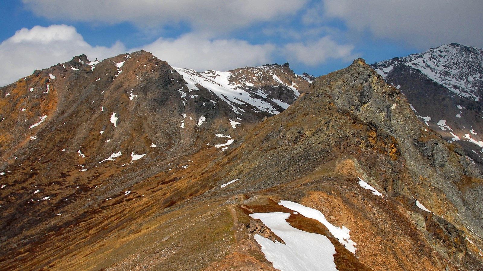
Mount Healy

NPS Photo
Scenic View/Photo Spot
The park entrance area is dominated by Mount Healy, which looms just north of the park road. Though Mount Healy is referred to as one mountain, the ridgeline extends for 15 miles (24 km) from the George Parks Highway to the Savage River. Mount Healy is part of the informally named Outer Range, which also includes Mount Margaret and Mount Wright to the west of the Savage River.
The Mount Healy Trail leads from near the Denali Visitor Center to a point about half-way up Mount Healy. The trail begins at a relatively moderate incline, reaching a bench and overlook about a mile into the hike. From there, the trail grows significantly steeper. It can be very icy in spring and winter, so hikers should use caution if attempting the trail. Learn more about the Mount Healy Trail.
Geology
The foundation for the entire Outer Range is the metamorphic Yukon-Tanana Terrane. Terranes are fragments of the Earth’s crust that have been scraped or broken off of one tectonic plate and sutured onto another. The rocks of this terrane, the oldest that you’ll find in the park, formed ~400 million years ago as shallow-water seafloor deposits and were intruded by igneous rocks ~365 million years ago. In the Early Jurassic Epoch (~195 million years ago), these rocks were accreted onto the North American continent. Since then the Yukon-Tanana rocks have experienced multiple episodes of regional metamorphism.
The Yukon-Tanana Terrane is the foundation for roughly the northern third of the park and many of the nearby mountains that line the George Parks Highway, including Sugarloaf Mountain northeast of the park entrance. The Yukon-Tanana Terrane extends northwards to the Brooks Range and makes up the hills surrounding Fairbanks, as well as east into Canada.
