Last updated: July 26, 2023
Place
Crab Creek - Rocky Ford Area

Information Kiosk/Bulletin Board, Parking - Auto
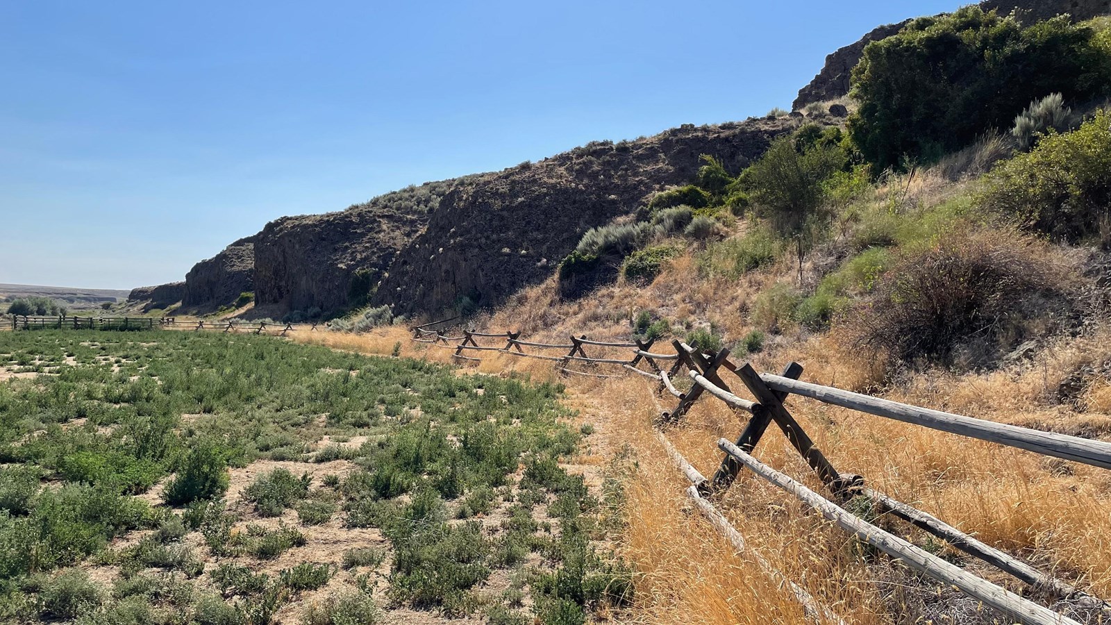
The 3-acre Crab Creek primitive recreation site provides two joined 16’ x 16’ horse corrals, two stock watering troughs fed by a perennial stream, and open ground suitable for tent and/or RV camping. The site is popular especially with anglers, hunters, hikers, and horseback riders. It serves as the primary access point to the surrounding BLM Crab Creek/Rocky Ford area, including 9 miles of both sides of Crab Creek.
Know Before You Go:
- The 3-acre Crab Creek primitive recreation site provides two joined 16’ x 16’ horse corrals, two stock watering troughs fed by a perennial stream, and open ground suitable for tent and/or RV camping.
- Available surface water is suitable for stock animals but is not fit for human consumption.
- Beware of rattlesnakes, especially during May through October.
- Cell phone service is not available in the camping/parking area.
Point of Interest:
Crab Creek is sometimes referred to as the longest ephemeral stream in North America.
EXTERNAL MAP:
https://www.blm.gov/sites/default/files/orwa-CrabCreekRockyFord-map.pdf
