Last updated: January 10, 2023
Place
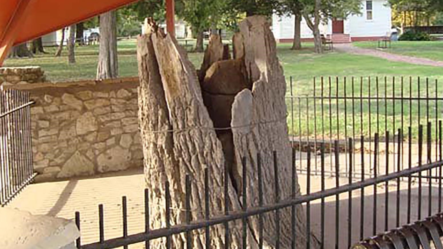
Council Oak in Council Grove

NPS Photo
The Council Oak received its name from a council that was ostensibly held under this tree on August 10, 1825. This council, which was attended by three U.S. commissioners and the chiefs of the Great and Little Osage Indians, resulted in a treaty that - in return for an $800 payment - gave Americans and Hispanics free passage along the Santa Fe Trail through Osage territory. This meeting was also the namesake of Council Grove, a trailside community that was founded in the late 1840s, because of the mile-wide grove of hardwood timber in the area.
A protective canopy east of the Neosho River bridge protects the stump of the Council Oak. Before it blew down in a windstorm in 1958, the oak was approximately 70 feet high and measured 16 feet around.
Site Information
Location (U.S. Highway 56 (E. Main Street), near N. 4th Street)
