Last updated: November 28, 2023
Place
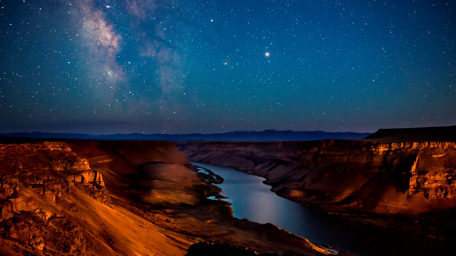
Confluence of the Columbia and Snake Rivers
BLM
Quick Facts
Location:
2503 Sacajawea Park Road, Pasco, WA 99301
Significance:
Yakama and Wanapam people greeted Meriwether Lewis, William Clark, and their party at the confluence of the Columbia and Snake Rivers on October 16, 1805.
Designation:
Lewis and Clark National Historic Trail
MANAGED BY:
Amenities
14 listed
Benches/Seating, Boat Ramp, Canoe/Kayak/Small Boat Launch, Dock/Pier, Historical/Interpretive Information/Exhibits, Parking - Auto, Parking - Boat Trailer, Parking - Bus/RV, Picnic Shelter/Pavilion, Picnic Table, Recreational Field, Restroom, Trash/Litter Receptacles, Wheelchair Accessible
After Nez Perce guides Walamottinin (Twisted Hair) and Tetoharsky led Meriwether Lewis and William Clark’s party down the fast-moving Clearwater and Snake Rivers, they reached the Columbia River. This was the river that finally led to the Pacific Ocean.
As their boats flowed onto the Columbia’s current, they entered an impressive and extensive trade corridor—one that Walamottinin and Tetoharsky were very familiar with. As Pat Courtney Gold (who is Wasco) said 200 years after Lewis and Clark came through, “There’s roughly 50-some independent sovereign nations and we were all connected by the Columbia River. We had one of the largest Native trade routes in the entire United States.”
Lewis and Clark realized that they could benefit from this densely populated area. They could ask local people to help them, as Mandan, Hidatsa, Shoshone, Nez Perce, and many other Indigenous people had helped them before.
Walamottinin and Tetoharsky brought the expedition members to the homes of their Yakama and Wanapam friends at the confluence of the Snake and Columbia Rivers.
Word had already traveled that the two Nez Perce men were guiding visitors from faraway. Some 200 people came down to the river to greet the new arrivals and sing songs of welcome.
The Lewis and Clark party stayed for several nights. They asked about the rivers—about their widths, their depths, their lengths and about the people who lived along and traveled on them. This was part of the colonial goals of their journey, since American leaders wanted to know who to trade with and where to establish settlements.
Their hosts knew these rivers well and shared their experiences with the visitors. A Yakama leader drew a map of the confluences of the Snake, Yakima, and Columbia Rivers for Clark. Clark then used this map to draw his own sketch of the rivers.
About this article: This article is part of a series called “Pivotal Places: Stories from the Lewis and Clark National Historic Trail.”
Lewis and Clark NHT Visitor Centers and Museums
This map shows a range of features associated with the Lewis and Clark National Historic Trail, which commemorates the 1803-1806 Lewis and Clark Expedition. The trail spans a large portion of the North American continent, from the Ohio River in Pittsburgh, Pennsylvania, to the mouth of the Columbia River in Oregon and Washington. The trail is comprised of the historic route of the Lewis and Clark Expedition, an auto tour route, high potential historic sites (shown in black), visitor centers (shown in orange), and pivotal places (shown in green). These features can be selected on the map to reveal additional information. Also shown is a base map displaying state boundaries, cities, rivers, and highways. The map conveys how a significant area of the North American continent was traversed by the Lewis and Clark Expedition and indicates the many places where visitors can learn about their journey and experience the landscape through which they traveled.