Last updated: November 28, 2023
Place
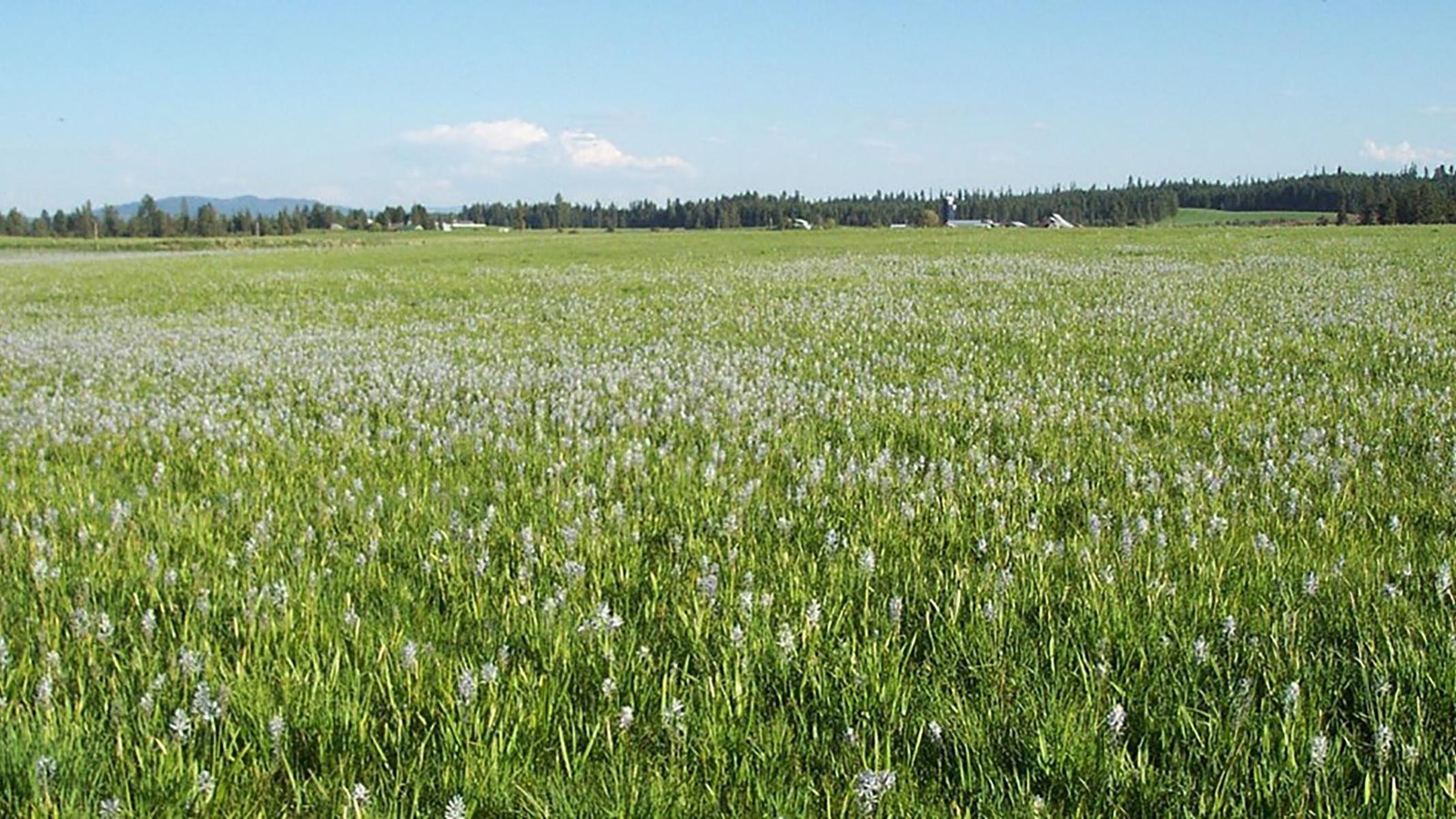
Weippe-Watkuweis
NPS
Quick Facts
Significance:
Nez Perce people welcomed members of the Lewis and Clark Expedition into their homes and fed them on their westward and eastward journeys.
Designation:
Lewis and Clark National Historic Trail, National Historic Landmark, Nez Perce National Historical Park
Amenities
2 listed
Historical/Interpretive Information/Exhibits, Parking - Auto
In September 1805, and then again in June 1806, Nez Perce people hosted Meriwether Lewis, William Clark, York, Sacagawea, and the rest of their party at Weippe Prairie. Many Nez Perce people were staying here at the time—Clark called it “a butifull Countrey” with “maney Indian lodges.”
Nez Perce people saw these starving and bad-smelling Soyapo (White people) who had just crossed Lolo Trail during the wrong time of year. They gave them dried salmon, camas bulbs, camas bread, and berries.
They chose to help these newcomers in part because a Nez Perce woman, Watkuweis, told her friends and family that they should be kind to them. Watkuweis had been captured many years before during a raid by Blackfeet or Atsina warriors. She then lived with White people for several years before finding her way home. Watkuweis convinced her Nez Perce family to be kind to these White visitors, since the White people she had met before had been kind to her.
No one in the visiting party spoke Nez Perce, but two French-speaking men—George Drouillard and Pierre Cruzatte—knew the sign language that was common among Indigenous communities and non-Native traders across North America.
The visitors wanted to travel by boat, but they had left theirs on the other side of the Rocky Mountains. Two Nez Perce men, Walamottinin (Twisted Hair) and Tetoharsky, led the visitors to the Clearwater River. They helped these visitors find and cut down trees that were big enough to make canoes and taught them how to use fire to hollow out the center.
Walamottinin and Tetoharsky then guided the visitors down the rivers they knew well—from the Clearwater, to the Snake River, and then onto the Columbia River. They guided their new friends all the way to the great falls of the Columbia.
About this article: This article is part of a series called “Pivotal Places: Stories from the Lewis and Clark National Historic Trail.”
Lewis and Clark NHT Visitor Centers and Museums
This map shows a range of features associated with the Lewis and Clark National Historic Trail, which commemorates the 1803-1806 Lewis and Clark Expedition. The trail spans a large portion of the North American continent, from the Ohio River in Pittsburgh, Pennsylvania, to the mouth of the Columbia River in Oregon and Washington. The trail is comprised of the historic route of the Lewis and Clark Expedition, an auto tour route, high potential historic sites (shown in black), visitor centers (shown in orange), and pivotal places (shown in green). These features can be selected on the map to reveal additional information. Also shown is a base map displaying state boundaries, cities, rivers, and highways. The map conveys how a significant area of the North American continent was traversed by the Lewis and Clark Expedition and indicates the many places where visitors can learn about their journey and experience the landscape through which they traveled.