Last updated: December 30, 2021
Place
Clark's Lookout
National Archives and Records Administration
Quick Facts
Location:
25 Clark's Lookout Road, Dillon MT
Significance:
William Clark's observation point
Designation:
National Register of Historic Places
MANAGED BY:
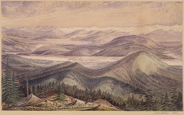
While Lewis and three others traveled overland to Beaverhead Rock, Clark and the rest of the Corps headed there by river. On August 13, 1805, Clark ascended a limestone outcropping, now known as Clark's Lookout. He viewed the region through a telescope, made a number of compass readings, and sketched a map of the area.
After travelling 16 miles by water and five miles by land, the Corps spent the night few miles southwest of present-day Dillon, Montana. From here they traveled upriver, crossed the Continental Divide and joined Lewis on the banks of the Lemhi River. They met with the Shoshone, led by Sacagawea's brother Chief Cameahwait, and received aid critical to their continuing the journey west.