Last updated: July 28, 2022
Place
Canyon Creek

National Park Service
Information, Parking - Auto
At the beginning of September in 1877, the Nez Perce emerged from Yellowstone National Park and were pursued by the 7th U.S. Cavalry under Colonel Samuel Sturgis. On September 13th, both sides surprised each other, the troops charged, trying to cut off the fleeing Nez Perce from the relative safety of the trees in Canyon Creek. The canyon mouth offered natural defenses for the Nez Perce. Positioned high on the slopes and on top of both buttes, Nez Perce warriors kept soldiers pinned down while the women, children, and elders escaped.
Getting to Canyon Creek
The Canyon Creek Battlefield and Highway Pullout is located on Buffalo Trail Road 8 miles north of Laurel, Montana.
Driving to Canyon Creek
From I-90 at Laurel, Montana head west on exit 434. Turn north onto S 1st Ave and drive 2 miles to Buffalo Trail Road. Continue onto Buffalo Trail Rd/Laurel North Rd for 6.3 miles. Turn right onto Lipp Rd. The highway pullout will be on the left.
Things to Do at Canyon Creek
Explore the Site
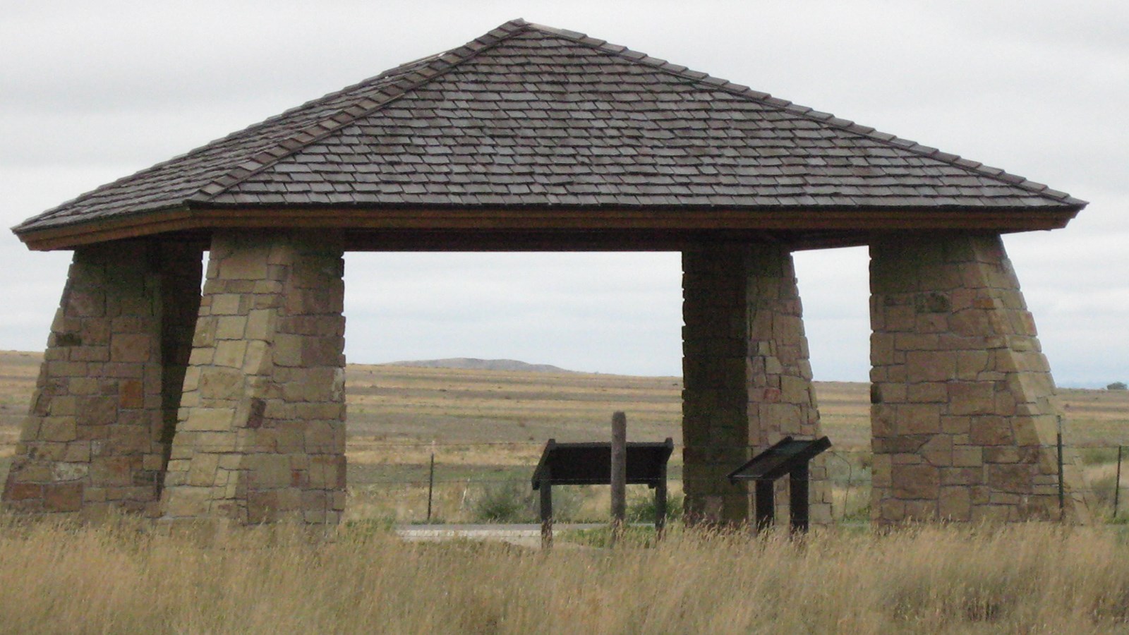
Canyon Creek Battlefield is located on a mix of privately and state owned land. A pullout on Buffalo Trail Road has a pavilion, a stone monument and bronze plaque erected by the Yellowstone Historical Society, and several wayside panels that provide information on the skirmish that took place here in 1877. The battlefield is largely unaltered and visually evokes a strong feeling to its 1877 past, when it consisted of undulating grassy sage-covered ridges and plains; however it is not accessible to the public. Please respect the land owners' property rights and do not venture beyond the roadside pullout.
