Last updated: January 10, 2023
Place
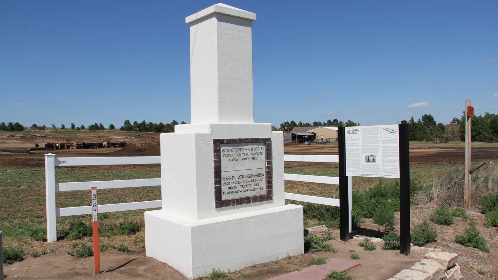
Caches Monument

NPS Photo
Near the Caches Monument, a blizzard stopped Santa Fe– bound traders in 1822. They dug holes, buried, and stored (cached) their goods until they returned from Taos six months later. The holes remained until recent times and became the landmark known as the “Caches” on the trail. The monument commemorates their campsite and nearby Ft Atkinson and Ft Mann. Near the Caches was also the original western terminus of the Wet/Dry Routes of the Santa Fe Trail.
From here, you can easily visit the 100th Meridian Marker, Fort Dodge, Mulberry Creek Crossing, Boot Hill Museum, Fort Larned National Historic Site, Dodge City, and more.
Site Information
Location (The Caches Marker is located along US 50 about 1.3 miles west of the US 50 By-pass junction on a dirt road.)
Caches Monument is a large white monument on the side of a dirt road close to a highway. The monument is located within a rural environment with fields and farmlands.
Safety Considerations
