Last updated: September 4, 2020
Place
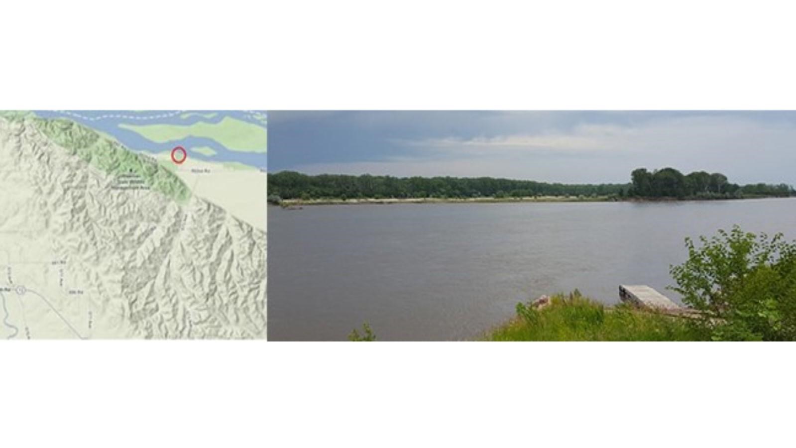
Brooky Bottom River Access
Quick Facts
Location:
Cedar County, Nebraska
MANAGED BY:
Cedar County, Nebraska
Amenities
7 listed
Boat Ramp, Canoe/Kayak/Small Boat Launch, Parking - Auto, Picnic Shelter/Pavilion, Picnic Table, Restroom, Water - Drinking/Potable
River Mile: 784
Access Type: Boat landing
Restrooms: Yes
Water: Yes
Camping: Primative
Picnic Facilities: Yes
Directions: To drive to this boat ramp take Nebraska Highway 12 east 18.1 miles from its intersection with US 81. Turn left (north) onto Road 573 (a sign will read Brooky Bottom Recreational River). Follow this gravel road for 4.6 miles to a dead-end. Turn left (west) onto Road 892 and proceed for 0.3 miles. Turn right (north) onto 572 and continue ahead for 0.2 miles into the small park where the boat ramp is located.
Notes: Goat Island is adjacent to the site.
Brooky Bottom Boat Launch (River Mile 784.8)
Brooky Bottom Boat Launch (also known as Sportsman), is directly across from Goat Island to the south (Nebraska side). To drive to this two-lane concrete boat ramp, take Nebraska Highway 12 east 18.1 miles from its intersection with US 81. Turn left (north) onto Road 573 (there is a sign that reads "Brooky Bottom Recreation Area"). Follow this gravel road for 4.6 miles to a dead-end. Turn left (west) onto Road 892 and proceed for 0.3 miles. Turn right (north) onto Road 572 and continue ahead for 0.2 miles into the small park where the boat ramp, restrooms, and picnic shelter are located. Primitive camping only is allowed.