



Last updated: September 10, 2026
Place
Brockliss Bridge Crossing
NPS Photo
Quick Facts
Location:
Parking/trailhead 38.760597 -120.506281
Significance:
Brockliss Bridge, built in the mid-1850s to span the South Fork American River, served emigrants, freighters, stagecoaches, and the Pony Express. It was destroyed by flooding in the 1870s after years of hard service.
Designation:
Historic site on the Pony Express National Historic Trail.
MANAGED BY:
US Forest Service
Amenities
3 listed
Parking - Auto, Scenic View/Photo Spot, Trailhead
The crossing of the South Fork American River at Pacific, California, was originally a wagon ford, but in 1855-1856, Anthony Brockliss built a state-funded bridge to carry traffic safely across the canyon. Emigrants, stagecoaches, and mining traffic, joined by Pony Express riders in 1860-1861, used Brockliss Bridge heavily until it was destroyed by flooding in the 1870s. The concrete abutments still standing at the site are remnants of a much later bridge.
Each June, the National Pony Express Association conducts an annual reenactment of the ride between Sacramento and St. Joseph, Missouri. Since participants cannot safely cross the river canyon on horseback, they suspend their mochila (mail pouch) from a cable that spans the canyon and use a pulley to transfer it to a rider waiting on the other side.
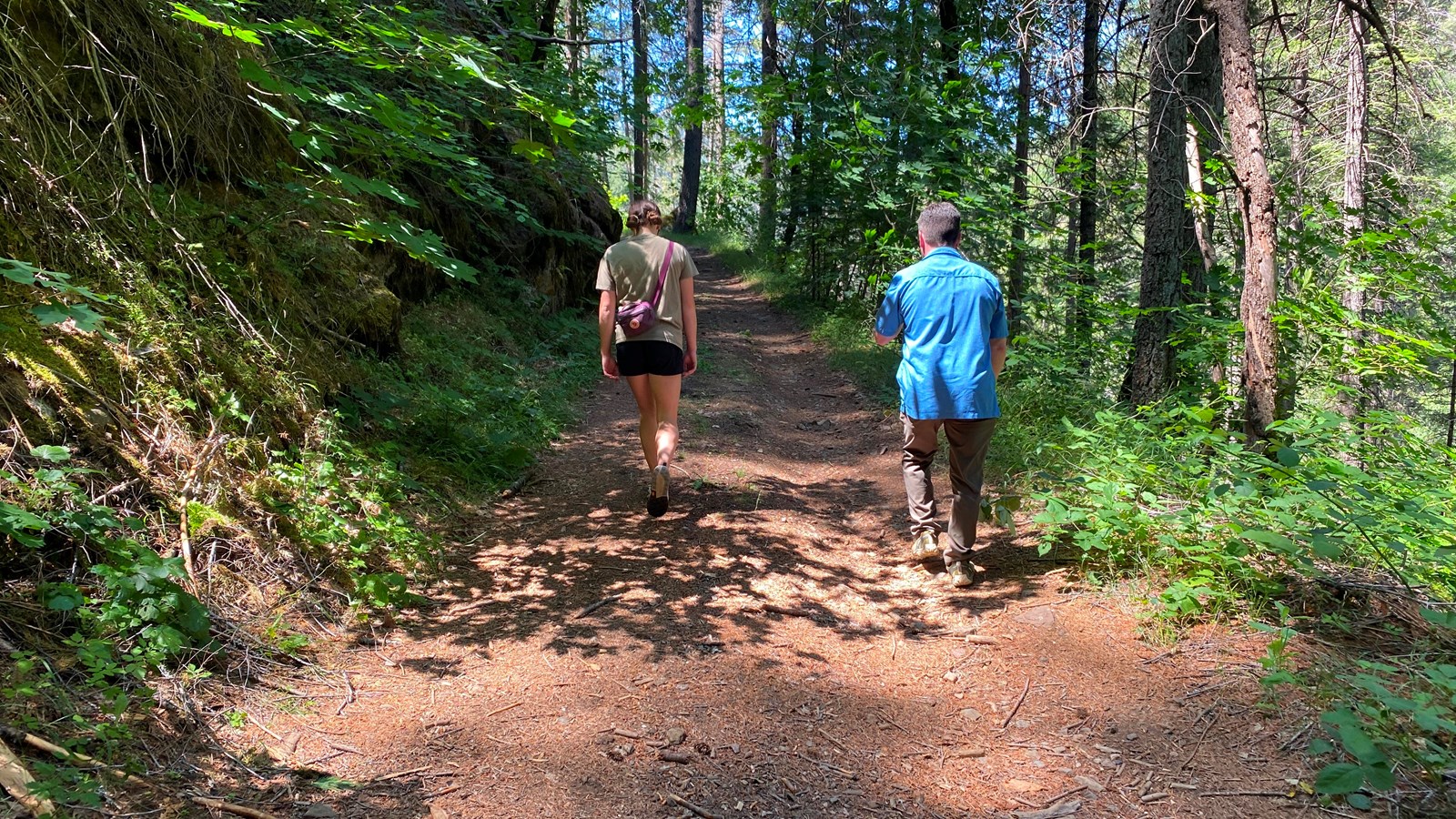
Today’s visitors can walk down historic Peavine Road to view the old bridge site and a T-shaped trail marker with an 1859 emigrant quote. The 1.4-mile roundtrip hike to the crossing is steep. Along the walk, take note of the impressive rock retaining wall to the right, built for a later historic road.
To reach the site, drive east for 3.7 miles from Pollock Pines, California, on US-50. Turn left (north) onto Peavine Ridge Rd, which parallels the highway, and continue about ½ mile. On the left, you will pass a Pony Express monument and historic Pacific House, where travelers on the Johnson Cutoff once lodged and dined. These are on private property but are easily viewed and photographed from the public road. Continue along Peavine to a “Dead End” sign a short distance beyond Pacific House. Park nearby and begin the hike along the old road into the river canyon.
Site Information
Location (Parking/trailhead 38.760597 -120.506281)