



Last updated: November 14, 2026
Place
Big Hill and McAuley Cutoff
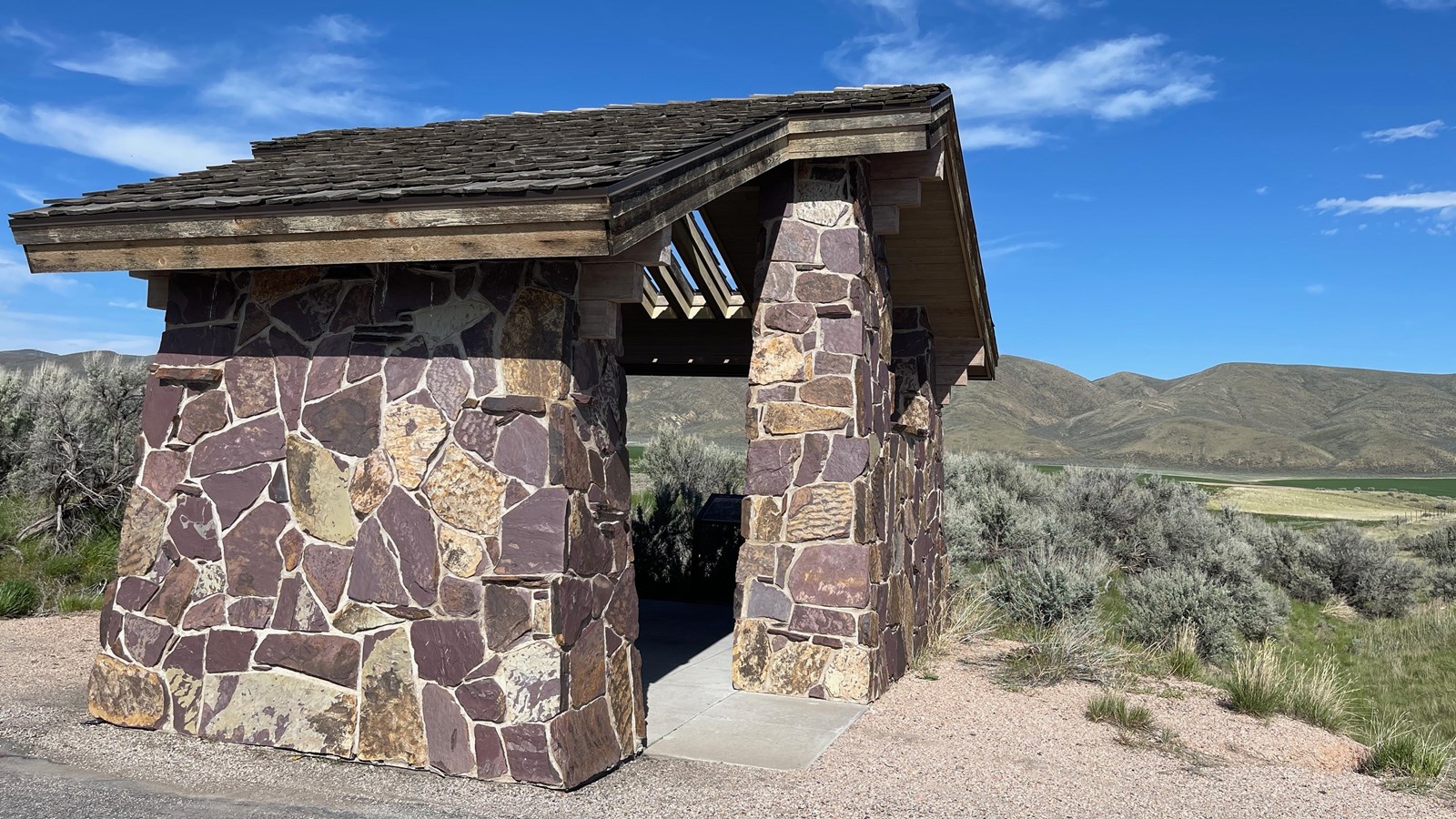
Photo/L. Kreutzer
Quick Facts
Location:
Big Hill/McAuley Cutoff interpretive turnout is about 6.5 miles directly southeast of Montpelier, Idaho. It is on US-30 at milepost 441.7, on the east side of the highway. GPS 42.235910 -111.233167
Significance:
Big Hill, part of the Sheep Creek Hills near Montpelier, Idaho, was one of the greatest impediments on the entire Oregon Trail Route. In 1852, a small group of emigrants built a toll road—the McAuley Cutoff—around it.
Designation:
Historic site on the Oregon and California National Historic Trails.
Amenities
4 listed
Historical/Interpretive Information/Exhibits, Parking - Auto, Parking - Bus/RV, Wheelchair Accessible
After crossing Thomas Fork in southeastern Idaho, emigrants climbed into the Sheep Creek Hills and then faced the steep, half-mile descent descent of Big Hill into Bear River Valley. The arduous crossing consumed most of a day, and many emigrants recorded the experience in their journals.
"We started at six o'clock, forded Thomas Fork, and turning to the west, came to a high spur we were compelled to climb,” wrote Margaret Frink on July 6, 1850. "The descent was very long and steep. All the wheels of the wagon were tied fast, and it slid along the ground. At one place the men held it back with ropes and let it down slowly."
Ruts gouged into the mountainside by those sliding wagons can still be seen from the US-30 interpretive turnout southeast of Montpelier, Idaho.
After crossing Big Hill, Eliza’s brother Tom explored the surrounding country and discovered a route “by which the mountain can be avoided by doing a little road building.” The party camped in Bear River Valley for 2 weeks while, with the help of some hired laborers, they constructed a road around Big Hill “to save people from having to cross that dreadful mountain.” When the McAuley wagons continued toward Oregon, 2 men stayed behind temporarily to collect tolls and recover some of the construction costs.
Other parties used and appreciated the cutoff during the 1852 emigration season, but no one stayed to maintain the toll road, and there is no record of its use after that year. Although no visible traces of the route survive today, US-30 generally follows the course of the old McAuley Cutoff around the south base of Big Hill.
Site Information
Location (Big Hill/McAuley Cutoff interpretive turnout is about 6.5 miles directly southeast of Montpelier, Idaho. It is on US-30 at milepost 441.7, on the east side of the highway. GPS 42.235910 -111.233167)